Jomala, municipality of Åland, Finland
Location: Åland countryside
Elevation above the sea: 13 m
Shares border with: Mariehamn, Hammarland, Finström, Lemland, Lumparland, Sund
Website: http://jomala.aland.fi
GPS coordinates: 60.15000,19.95000
Latest update: April 4, 2025 12:08

Pommern
6.1 km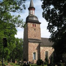
Church of St. Olaf
564 m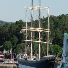
Åland Maritime Museum
6 km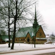
Saint George Church in Mariehamn
5.9 km
Åland Museum
5.9 km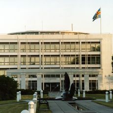
Parliament building of Åland
5.8 km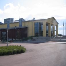
Mariebad
4.6 km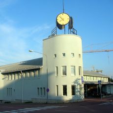
Mariehamn City Library
5.4 km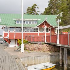
Segelpaviljongen
5.8 km
Alandica
5.5 km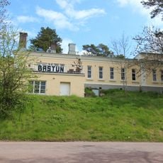
Bastun
5.9 km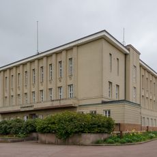
Mariehamns stadshus
6 km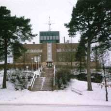
Navigationsskolan, Mariehamn
6.2 km
Norrbölen linnavuori
1.6 km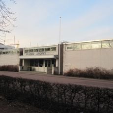
Åland Art Museum
5.9 km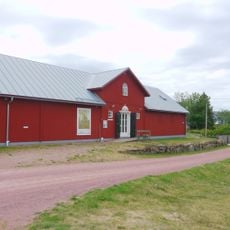
Önningeby Museum
4.7 km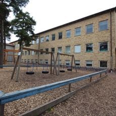
Övernäs skola
5.6 km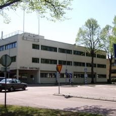
Statens Ämbetshus
5.9 km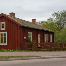
Övernässtugan
6.3 km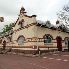
Gamla tullhuset, Mariehamn
6.2 km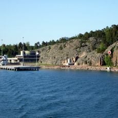
Lotsbroverket
6.7 km
Röda Kon
6.4 km
Vindöga
5.4 km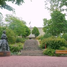
Statue of Maria Alexandrovna
5.9 km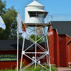
Kvarter
5 km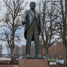
Staty av Julius Sundblom
5.8 km
Doktorsvillan
5.8 km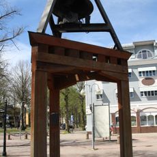
Ledskärs Mistklocka
5.8 kmVisited this place? Tap the stars to rate it and share your experience / photos with the community! Try now! You can cancel it anytime.
Discover hidden gems everywhere you go!
From secret cafés to breathtaking viewpoints, skip the crowded tourist spots and find places that match your style. Our app makes it easy with voice search, smart filtering, route optimization, and insider tips from travelers worldwide. Download now for the complete mobile experience.

A unique approach to discovering new places❞
— Le Figaro
All the places worth exploring❞
— France Info
A tailor-made excursion in just a few clicks❞
— 20 Minutes