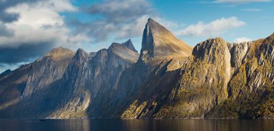
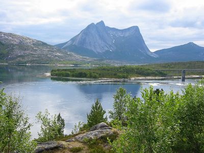
Scandinavian Mountains, Mountain range in northern Scandinavia, Sweden.
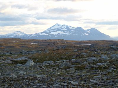
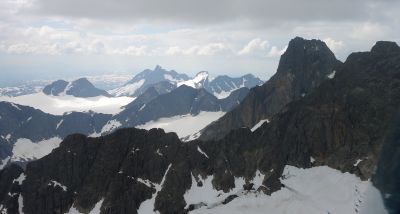
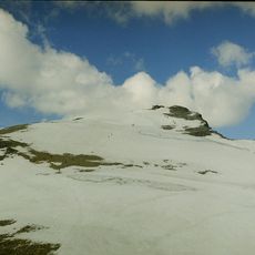
The Scandinavian Mountains stretch for 1700 kilometers across the peninsula, forming steep cliffs toward the North Atlantic and gradual slopes toward Finland. The northern section of the range marks the border between Norway and Sweden, with peaks rising to roughly 2000 meters at the Arctic Circle.
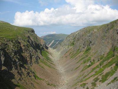
The range originated 400 million years ago during the Caledonian orogeny, when the North American and Baltic continental plates collided. This collision caused the rocks to fold upward, creating the foundation for the present-day landscape that glaciers later sculpted further.
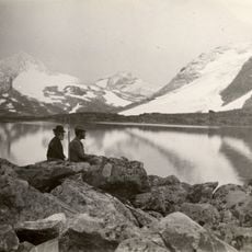
The mountains carry different names across regions: Skanderna in Sweden, Den skandinaviske fjellkjede in Norway, and Kölen, which refers to their boat-like shape. These names reflect how local inhabitants perceive the range as both a natural boundary and a shared landmark.
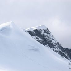
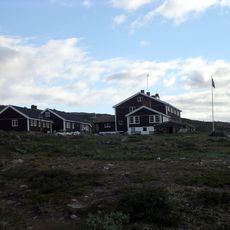
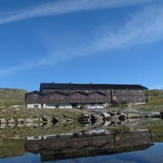
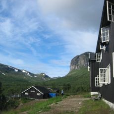
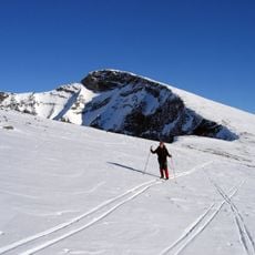
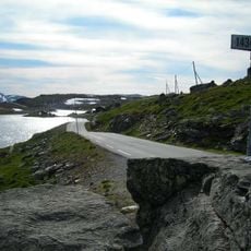
Accessibility varies greatly depending on the season, as snow blocks many routes in winter while summer brings longer daylight hours and passable trails. Hikers should bring weather-resistant clothing and prepare for rapid weather changes, especially at higher elevations.
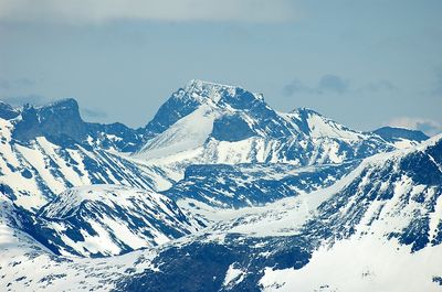
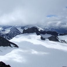
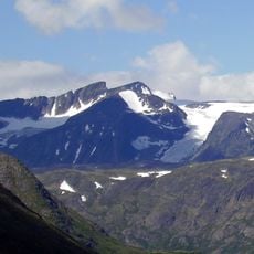
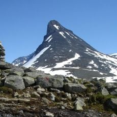
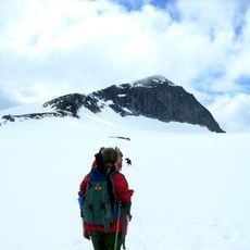
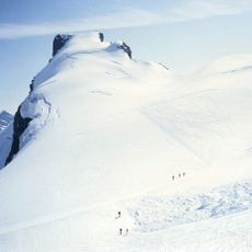
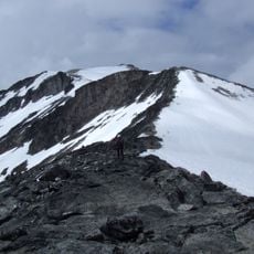
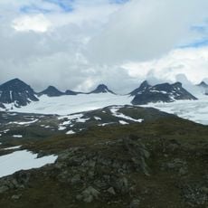
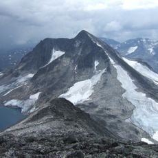
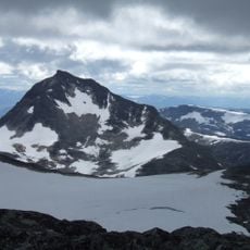
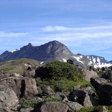
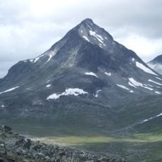
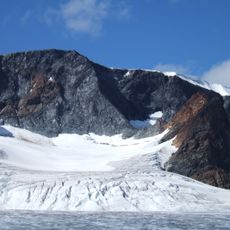
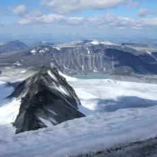
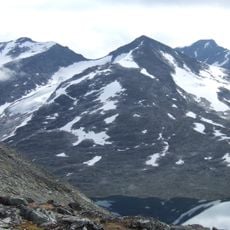
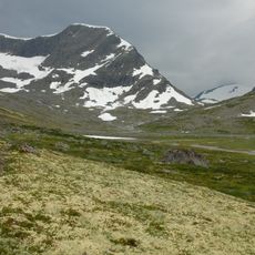
The Jotunheimen region alone counts 101 peaks above 2000 meters, with Galdhøpiggen rising to 2469 meters (8100 feet) as the highest point in Northern Europe. This concentration of tall summits within a relatively small area draws mountaineers from around the world.
The community of curious travelers
AroundUs brings together thousands of curated places, local tips, and hidden gems, enriched daily by 60,000 contributors worldwide.