Mäntyharju, municipality in the region of Southern Savonia in Finland
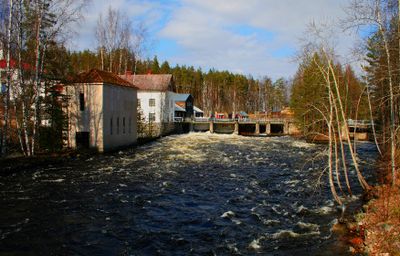
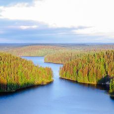
Mäntyharju is a municipality located in South Savo region in southeastern Finland. The area spans across lakes, forests, and scattered villages that characterize the Finnish lake country landscape.
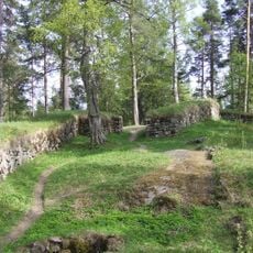
The municipality was officially established in 1865 when it separated from the nearby municipality of Ristiina. Its development was shaped by transport routes and forestry, which traditionally shaped the region.
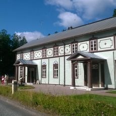
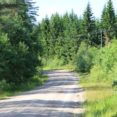
The municipality is sparsely populated and is best explored by car, as settlements spread throughout the region. Small village centers offer basic services, but visitors should stock supplies from larger nearby towns.
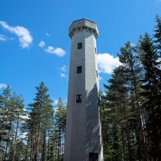
The name Mäntyharju literally means 'pine ridge' and refers to the distinctive pine forests and rolling formations that characterize the landscape. This naming reflects the area's close connection to its natural surroundings.
The community of curious travelers
AroundUs brings together thousands of curated places, local tips, and hidden gems, enriched daily by 60,000 contributors worldwide.