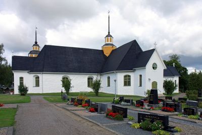
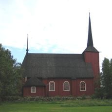
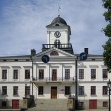
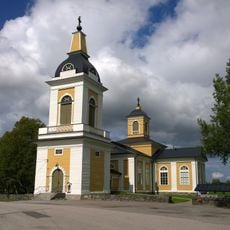
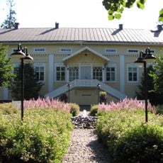
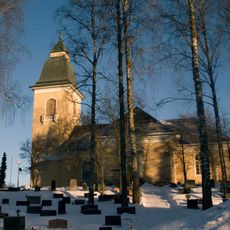
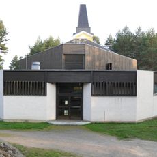
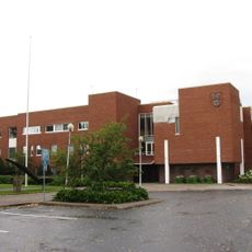
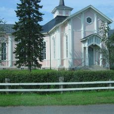
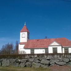
Närpes, town in the region of Ostrobothnia in Finland
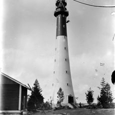
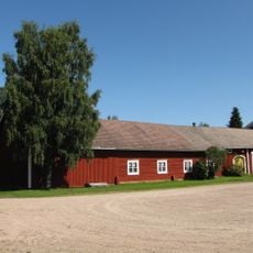
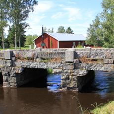
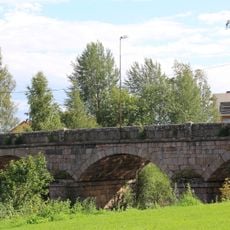
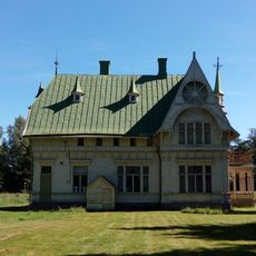
Närpes is a small town on Finland's west coast in the Ostrobothnia region, situated along the Gulf of Bothnia. The area spans over 2,300 square kilometers surrounded by water, with lakes, rivers, and coastline shaping the landscape.
Närpes was first mentioned in 1331 as an early trading post in the region where goods were exchanged at local markets. In 1348, the Swedish king granted residents permission to buy and sell food products freely, giving the local market system a formal foundation.
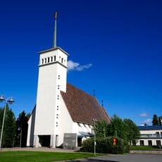
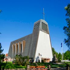
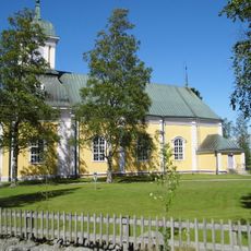
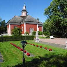
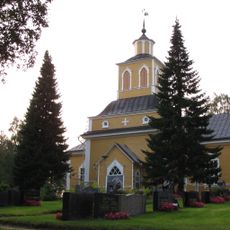
Närpes is a Swedish-speaking town where Finnish and other languages such as Vietnamese and Bosnian are also heard among residents from different backgrounds. The community values togetherness and mutual care, which is visible in the local events and markets that bring people together throughout the year.
The town is connected to larger cities like Turku, Vaasa, Kaskinen, and Seinäjoki via Highways 8 and 67, making it easy to explore the wider region. The climate is cold with snow in winter and short mild summers, so pack clothes suited to the season.
The town maintains sister city partnerships with places in Iceland, Norway, Denmark, and Sweden, exchanging ideas and perspectives with Nordic neighbors. These connections tie Närpes into a broader Nordic network and shape its cultural identity.
The community of curious travelers
AroundUs brings together thousands of curated places, local tips, and hidden gems, enriched daily by 60,000 contributors worldwide.