Eura, municipality in the region of Satakunta in Finland
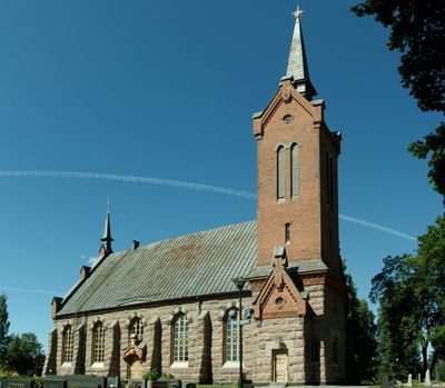
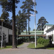
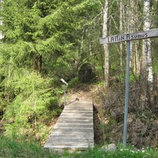
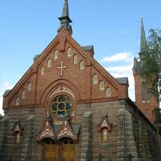
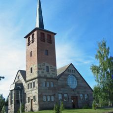
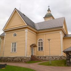
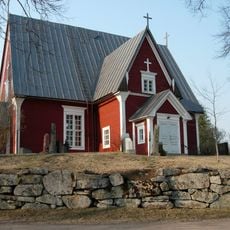
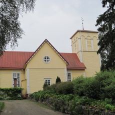
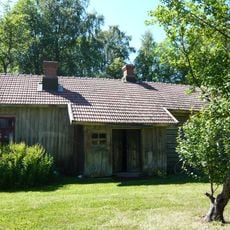
Eura is a town in the Satakunta region of southern Finland, spread across a landscape of lakes and forests with multiple village centers including the church village and Kauttua. The area contains wooden churches dating back centuries, rural homesteads, and natural areas that comprise more than half water and wetland.
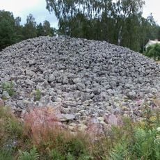
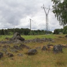
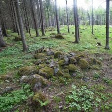
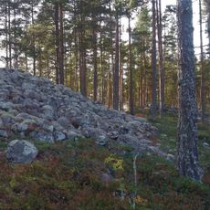
Eura was founded in the middle of the 1400s, though settlement in the region dates back to the Iron Age as shown by archaeological finds of ancient clothing and tools. The town expanded when nearby villages including Kiukainen merged with it in 2009.
The name Eura reflects the area's ancient roots and long history of settlement. Today visitors can observe how local traditions continue through wooden churches, craft practices like the traditional euranrinkilä pastry, and community gatherings that celebrate the town's heritage.
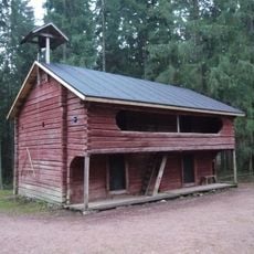
The town is easy to navigate on foot and accessible by quiet roads, with bus connections to larger cities like Pori, Turku, and Tampere for those without a car. Lodging options range from historic manor houses to forest camping spots, and basic supplies can be found at supermarkets in the town center.
The Naurava Lohikäärme Information Centre is Finland's first prehistory museum and displays the Euran Emännän Puku, an Iron Age dress over 2000 years old that reveals how people dressed in ancient times. In the village of Panelia, a unique mill museum operates the only surviving early grain-grinding mill of its kind in Europe still in use.
The community of curious travelers
AroundUs brings together thousands of curated places, local tips, and hidden gems, enriched daily by 60,000 contributors worldwide.