
Podcetin, settlement in the Municipality of Cetingrad, Karlovac County, Croatia
Location: Karlovac County
Location: Cetingrad
GPS coordinates: 45.13700,15.73000
Latest update: October 15, 2025 21:30

Monument to the uprising of the people of Kordun and Banija
20.7 km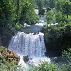
Rastoke
11.3 km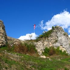
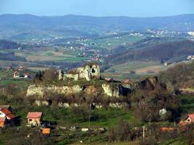
Cetin Castle
198 m
Caves of Barać
16.8 km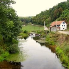
Maljevac
8.4 km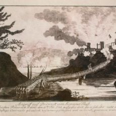
Drežnik Castle
21.8 km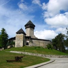
Velika Kladuša Castle
7.4 km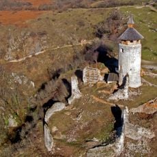
Drežnik Grad
21.4 km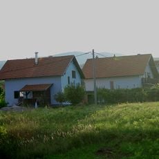
Grabovac, Rakovica
17.3 km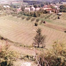
Kordunski Ljeskovac
15.5 km
Toplice Topusko
25.4 km
Vrnograč Castle
17.8 km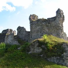
Bužim Castle
25.6 km
Smoljanac
22.5 km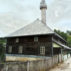
Old wooden mosque in Bužim
25.6 km
Cvitović, Slunj
11.5 km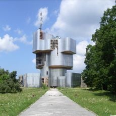
Crevarska Strana
25.2 km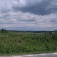
Čatrnja, Rakovica
21.6 km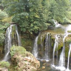
Slunjčica, Karlovac County
13.3 km
Petrova Gora Memorial Park
20.8 km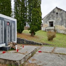
Knežević Kosa
23.4 km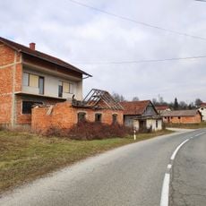
Vojišnica
23.2 km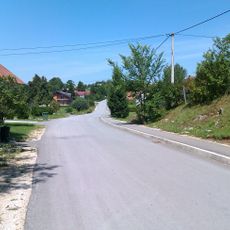
Gornje Taborište
11.4 km
Crkva sv. Jelene u Rakovici
17.1 km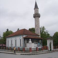
Gradska džamija
8.1 km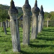
Nişans de la famille Kajtezović
16 km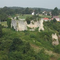
Szluin vára
11.4 km
Prisjeka
11.9 kmReviews
Visited this place? Tap the stars to rate it and share your experience / photos with the community! Try now! You can cancel it anytime.
Discover hidden gems everywhere you go!
From secret cafés to breathtaking viewpoints, skip the crowded tourist spots and find places that match your style. Our app makes it easy with voice search, smart filtering, route optimization, and insider tips from travelers worldwide. Download now for the complete mobile experience.

A unique approach to discovering new places❞
— Le Figaro
All the places worth exploring❞
— France Info
A tailor-made excursion in just a few clicks❞
— 20 Minutes