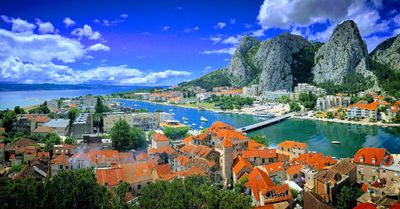
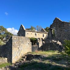
Omiš, Medieval fortress town in Split-Dalmatia County, Croatia
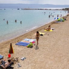
Omiš is a coastal town where the Cetina River flows to the Adriatic from a deep mountain canyon, with high limestone cliffs rising immediately behind the settlement. The town sits between the river mouth to the west and steep rocky terrain to the east, while the sea opens toward the south.
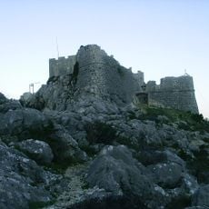
The settlement began as an Illyrian town in antiquity and grew into a fortified medieval stronghold during the Middle Ages. From roughly 1200 to 1400 it served as a base for seafarers whose activities shaped Adriatic trade before Venetian rule altered its path.
The name Omiš derives from an Illyrian root referring to the water flowing down from the mountains, a connection locals maintain through Klapa singing, traditional multi-part vocal performances that resound through the narrow stone streets and squares.
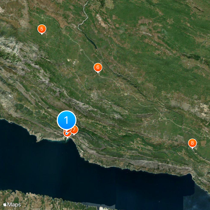
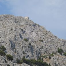
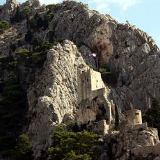
Visitors can hike along the paths around the two fortresses and see the town from above while looking out toward the islands. The coolest times to explore are early morning or late afternoon since the routes are narrow and often exposed to sun.
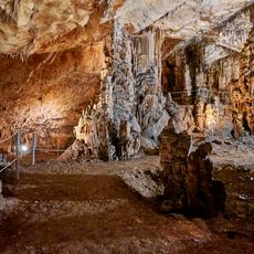
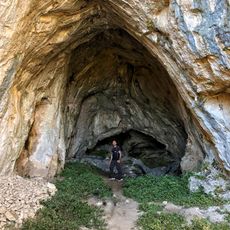
The Cetina River has carved a deep canyon system over millennia, with vertical walls rising to heights of around 300 meters that attract climbers from around the world. This rock formation is so dramatic that few other spots on the Adriatic coast have comparable geology.
The community of curious travelers
AroundUs brings together thousands of curated places, local tips, and hidden gems, enriched daily by 60,000 contributors worldwide.