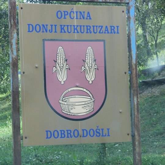
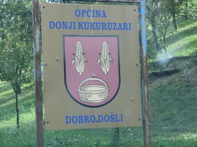
Donji Kukuruzari, municipality of Croatia
Location: Sisak-Moslavina County
Elevation above the sea: 152 m
Website: http://donji-kukuruzari.hr
GPS coordinates: 45.26460,16.48384
Latest update: March 25, 2025 03:12
Zrin
12.1 km
Zrin Castle
11.7 km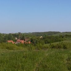
Klinac
18.2 km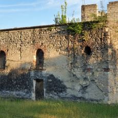
Church of Saint Parascheva
15.6 kmKlinac Castle
18.5 km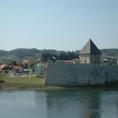
Fortress Kostajnica
6.9 km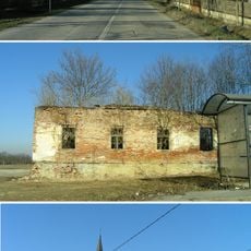
Staza
10.8 km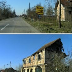
Živaja
18.9 km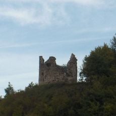
Čuntić
17.5 kmMoštanica, Petrinja
15.3 km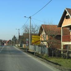
Vedro Polje, Sunja
11.5 km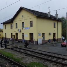
Volinja
7.6 km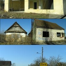
Šaš, Sunja
15.4 km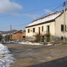
Velika Gradusa
8.7 km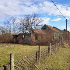
Drljača
10.8 km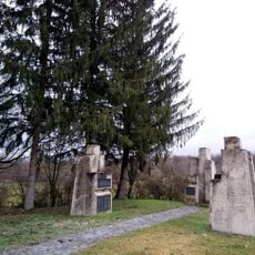
Dodoši, Petrinja
16.3 km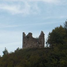
Čuntić grad
18.9 km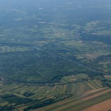
Prelošćica
19.8 km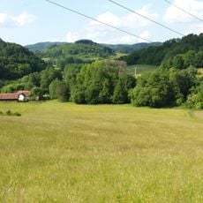
Gornja Oraovica
12.1 km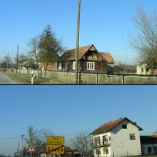
Donji Hrastovac
9.3 km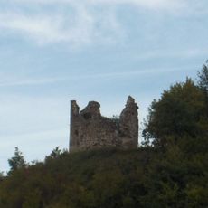
Hrvatski Čuntić
18.9 km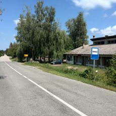
Slovinci
12.9 km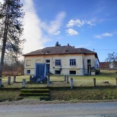
Petrinjci
11.6 km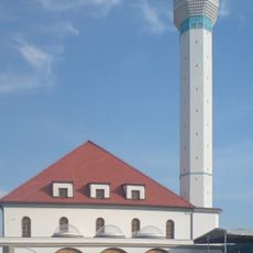
Aziziye Mosque, Bosanski Kostajnica
6.6 km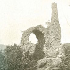
Pedalj vára
20 km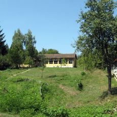
Babina Rijeka, Donji Kukuruzari
2.9 km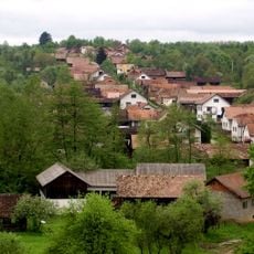
Gornja Velešnja
3.2 km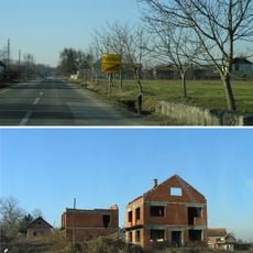
Pobrđani, Sunja
10.5 kmVisited this place? Tap the stars to rate it and share your experience / photos with the community! Try now! You can cancel it anytime.
Discover hidden gems everywhere you go!
From secret cafés to breathtaking viewpoints, skip the crowded tourist spots and find places that match your style. Our app makes it easy with voice search, smart filtering, route optimization, and insider tips from travelers worldwide. Download now for the complete mobile experience.

A unique approach to discovering new places❞
— Le Figaro
All the places worth exploring❞
— France Info
A tailor-made excursion in just a few clicks❞
— 20 Minutes
