Enable Location

We need your location to show you interesting places around you

Discover nearby places

Find interesting locations and hidden gems around you

Precise directions

Get accurate directions and distances to places

Your location is never shared with other users. It's only used when you tap the location button.

Zichyújfalu

Log in to your account

Start exploring — it's free

Trusted by 62,059 travelers worldwide

Continue with Google
Continue with Apple
or

We will send you a code to connect

By continuing, you accept our Terms and Conditions and our Privacy Policy

Check your inbox

We've sent a pincode in your inbox. Please enter the code below.

Zichyújfalu, Village municipality in Fejér County, Hungary

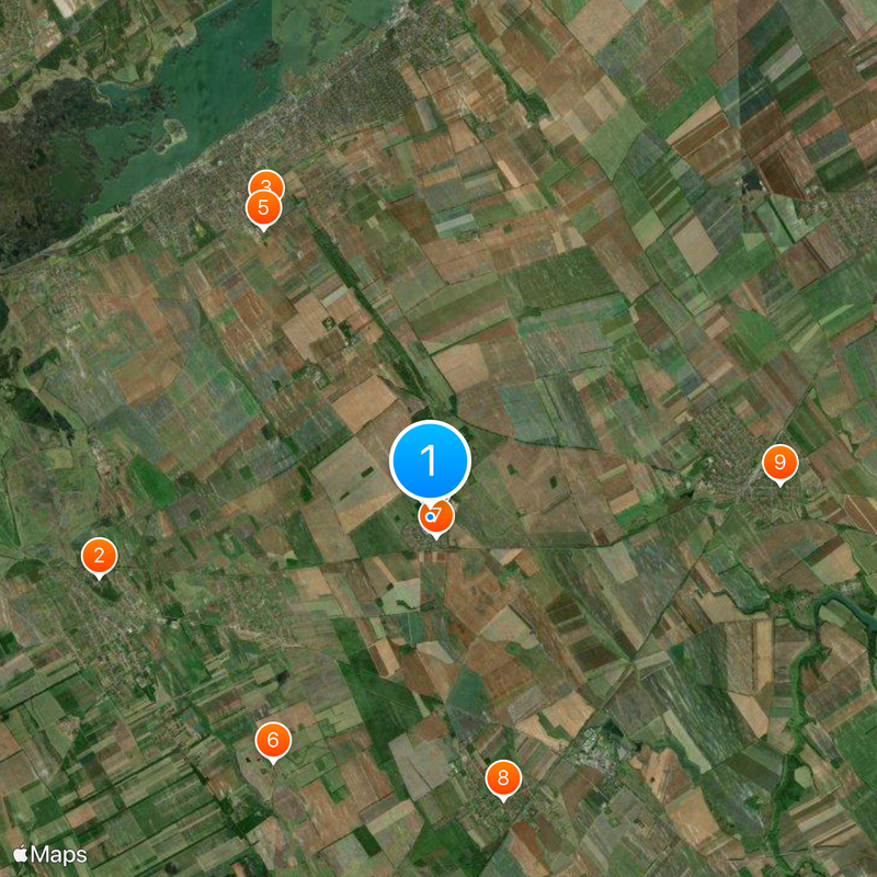
Zichyújfalu is a small village municipality located in the Seregélyes area of central Hungary. The settlement sits within a rural landscape characterized by fields and agricultural land in the region between several neighboring communities.

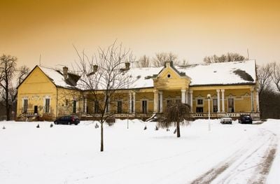
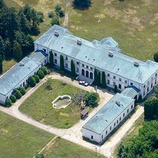
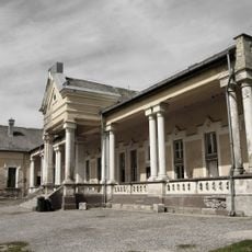
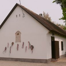
The settlement was first documented in 1239 and later developed under the influence of the Zichy family, who acquired estates here in the 18th century. After centuries under different administrative structures, the village became an independent municipality in 1997.

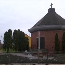
The village maintains traditional Hungarian rural practices through local events and community gatherings that connect residents with their agricultural heritage.

The village is accessible by regional buses and country roads that link it to neighboring towns. Visitors should know this is a small rural settlement better suited for passing through or brief stops rather than extended stays.

In the 18th century, János Zichy established a castle and deer park here, giving the settlement its name. This connection to the noble family shaped the character of the place, though some of these structures no longer remain visible today.

The community of curious travelers

AroundUs brings together thousands of curated places, local tips, and hidden gems, enriched daily by 60,000 contributors worldwide.

Start exploring
Location
Elevation above the sea
125 m
Shares border with
Gárdony, Pusztaszabolcs, Szabadegyháza, Seregélyes
GPS coordinates
47.12991,18.67002
Latest update
December 20, 2025 13:25
« Zichyújfalu - Village municipality in Fejér County, Hungary » is provided by Around Us (aroundus.com). Images and texts are derived from Wikimedia project under a Creative Commons license. You are allowed to copy, distribute, and modify copies of this page, under the conditions set by the license, as long as this note is clearly visible.

Discover hidden gems everywhere you go!

From secret cafés to breathtaking viewpoints, skip the crowded tourist spots and find places that match your style. Our app makes it easy with voice search, smart filtering, route optimization, and insider tips from travelers worldwide. Download now for the complete mobile experience.

Around Us App Screenshot

A unique approach to discovering new places

Le Figaro

All the places worth exploring

France Info

A tailor-made excursion in just a few clicks

20 Minutes

Around Us
Travel Guide & Maps
Download

Send to your phone

QR Code
1

Open the camera app on your mobile.

2

Point at the QR code with your camera. A notification will appear.

3

Tap the notification to open the link.