
Szentpéterfölde, village in Hungary
Location: Zalaegerszeg District
Website: https://szentpeterfolde.hu/
Website: https://szentpeterfolde.hu
GPS coordinates: 46.61667,16.76667
Latest update: June 23, 2025 03:21
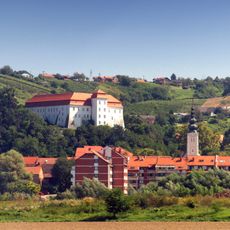
Lendava Castle
24.6 km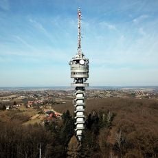
Bazita Peak TV Tower
22.2 km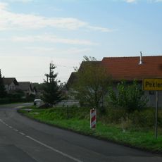
Peklenica
25.3 km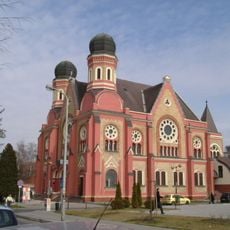
Synagogue Zalaegerszeg
25.8 km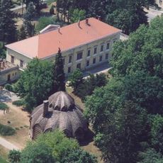
Kastelo de Letenye
20.6 km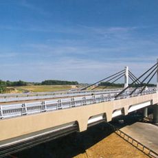
Korongi Bridge
22.8 km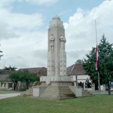
Nagy-Magyarország-emlékmű
25.1 km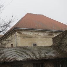
Synagogue in Nagykanizsa
24.9 km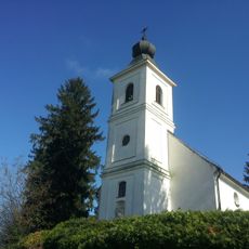
Holy Trinity Church
24.2 km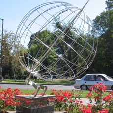
17 Longitude Monument (Nagykanizsa)
25.2 km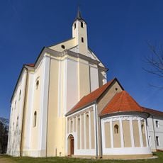
Roman Catholic church in Búcsúszentlászló
23.1 km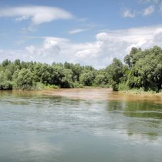
Mura-menti Tájvédelmi Körzet
24.9 km
Miklavec
24.8 km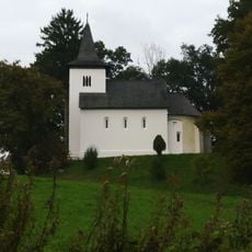
Saint Michael Church in Zalaszentmihályfa
24.9 km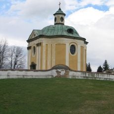
Tombokapelo Inkey
23.1 km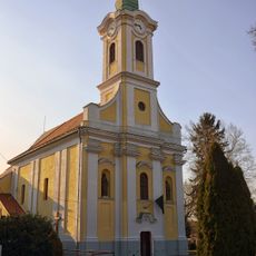
Holy Trinity Church in Letenye
20.7 km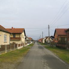
Donji Hrašćan
25.2 km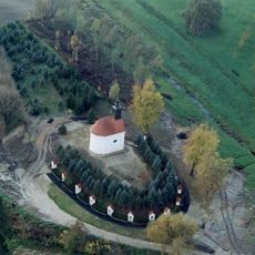
Calvary chapel (Búcsúszentlászló)
23.1 km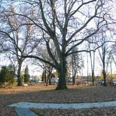
Baross liget
25.2 km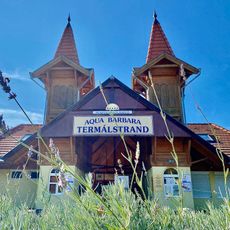
Aqua Barbara Thermal Bath
6 km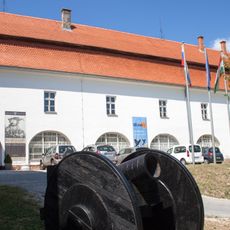
Gallery-Museum Lendava
24.6 km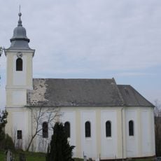
Roman Catholic church, Zalamerenye
25.6 km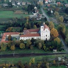
Franciscan monastery (Búcsúszentlászló)
23.1 km
Városi strandfürdő és fedett uszoda
25.3 km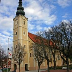
St. Catherine of Alexandria Church
24.7 km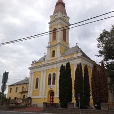
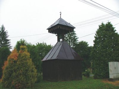
Preĝejo Vizito de Maria
23.1 km
Medgyaszay Ház
24.9 km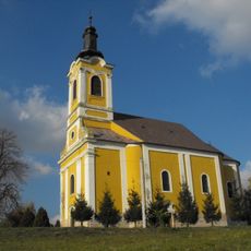
Saint Nicholas Church, Kerkaszentmiklós, Tornyiszentmiklós
19.4 kmReviews
Visited this place? Tap the stars to rate it and share your experience / photos with the community! Try now! You can cancel it anytime.
Discover hidden gems everywhere you go!
From secret cafés to breathtaking viewpoints, skip the crowded tourist spots and find places that match your style. Our app makes it easy with voice search, smart filtering, route optimization, and insider tips from travelers worldwide. Download now for the complete mobile experience.

A unique approach to discovering new places❞
— Le Figaro
All the places worth exploring❞
— France Info
A tailor-made excursion in just a few clicks❞
— 20 Minutes