Gyál District, district of Hungary
Location: Pest County
Inception: January 1, 2013
Capital city: Gyál
Shares border with: Szigetszentmiklós District, Dabas District, Monor District, Vecsés District
GPS coordinates: 47.38333,19.21667
Latest update: March 10, 2025 23:24
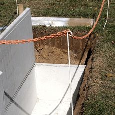
Plot 301, New Public Cemetery
10.3 km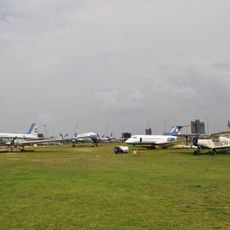
Aeropark
5.9 km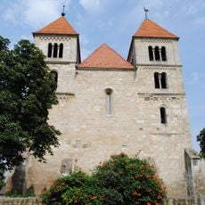
Romanesque church in Ócsa
10.5 km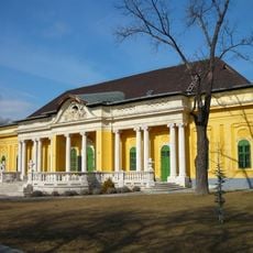
Podmaniczky–Vigyázó mansion, Budapest
11.1 km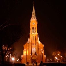
Our Lady Church
9.6 km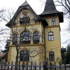
Erdős Renée Ház
10.1 km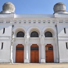
Mortuary of the Kozma Street Jewish Cemetery
11.1 km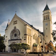
Saint Joseph Church, Budapest District XIX
10.6 km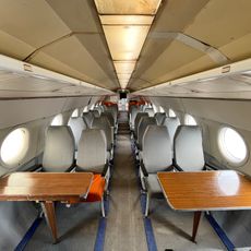
Aeropark (Repülőmúzeum)
5.9 km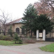
مجموعة كيشبيشت للتاريخ المحلي
9.7 km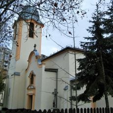
Saint Ladislaus church
7.3 km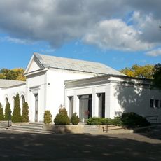
The funeral home and mortuary of the New Public Cemetery
10.2 km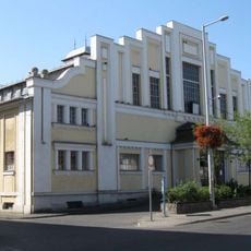
Tátra téri Piac és Vásárcsarnok
10.3 km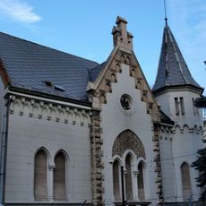
Pesterzsébeti Múzeum
10.5 km
Entrance building of the Új köztemető
10.4 km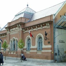
Gaál Imre Galéria
10.5 km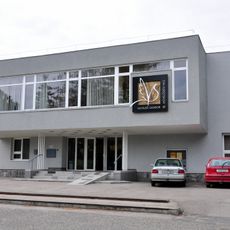
Vigyázó Sándor Művelődési Ház
11.1 km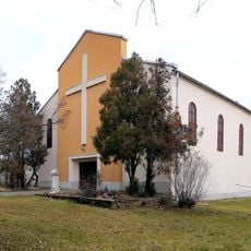
Saint Elisabeth of Hungary Church, Pestszentlőrinc-Erzsébettelep
9.1 km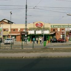
Kispest tram depot
9 km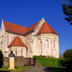
Ócsai prépostság
10.4 km
Kispesti Futball Ház
9.6 km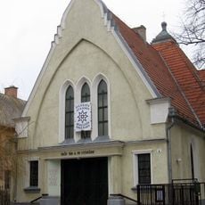
Lutheran Church (Pestszentlőrinc)
7.4 km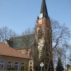
Saint Stephen of Hungary Church, Dunaharaszti
10.7 km
Tomory Lajos Múzeum
6.5 km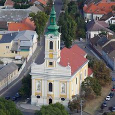
Our Lady Church, Soroksár
7.7 km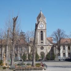
Jézus Szíve templom (Vecsés)
4.5 km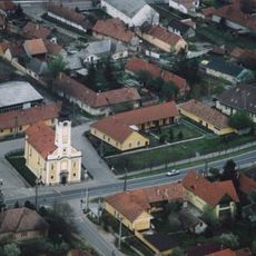
Exaltation of the Cross Church, Alsónémedi
8.7 km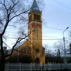
Lutheran Church (Kispest)
9.5 kmVisited this place? Tap the stars to rate it and share your experience / photos with the community! Try now! You can cancel it anytime.
Discover hidden gems everywhere you go!
From secret cafés to breathtaking viewpoints, skip the crowded tourist spots and find places that match your style. Our app makes it easy with voice search, smart filtering, route optimization, and insider tips from travelers worldwide. Download now for the complete mobile experience.

A unique approach to discovering new places❞
— Le Figaro
All the places worth exploring❞
— France Info
A tailor-made excursion in just a few clicks❞
— 20 Minutes