
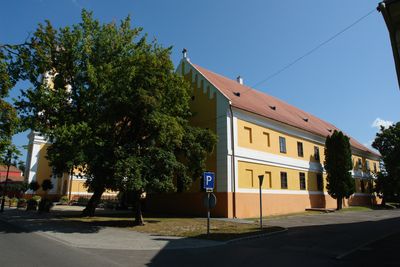
Nagyatád, town in Hungary
Location: Nagyatád District
Shares border with: Tarany, Rinyaszentkirály, Ötvöskónyi, Lábod
Website: http://nagyatad.hu
GPS coordinates: 46.22944,17.35750
Latest update: March 25, 2025 21:06

Đurđevački Peski
29.9 km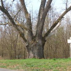
Patkó Bandi Tree
31.9 km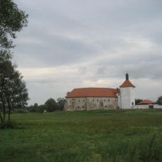
Old town Đurđevac
30.3 km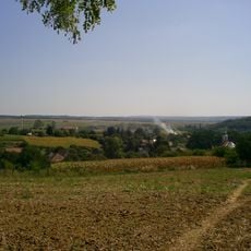
Zselic National Landscape Protection Area
30.8 km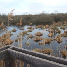
Baláta-tó
14.9 km
Brežnjička utvrda
16.6 km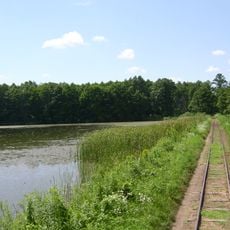
Boronka-melléki Tájvédelmi Körzet
27 km
Križnica
28.7 km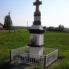
Ždala
17.7 km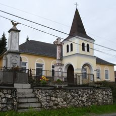
Bagola
33.2 kmStari Gradac
34.3 km
Botovo
34 km
Kozarevac
37.2 km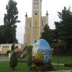
Crkva Uznesenja Blažene Djevice Marije na nebo u Molvama
28.6 kmRepaš
24.1 km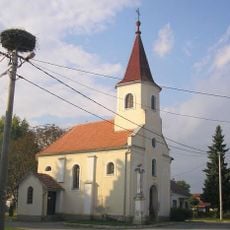
Delovi
33.4 km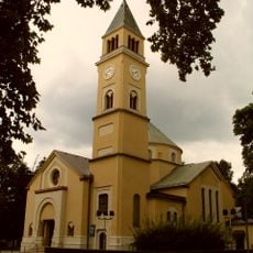
Saint George Church, Đurđevac
30.6 km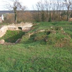
Báthory Castle in Ötvöskónyi
6.4 km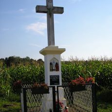
Novačka
24.7 km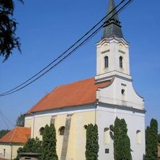
Šemovci
36.3 km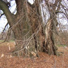
Ötvöskónyi hárs
6.2 km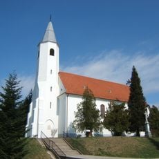
Holy Spirit Church in Csurgó
20.7 km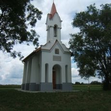
Kapotsfy-kápolna
23.3 km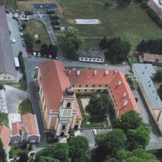
Szent Kereszt-templom
688 m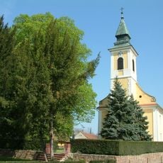
Evangélikus templom (Iharosberény)
24 km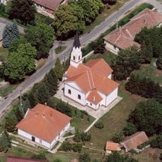
Szent József-templom
26.7 km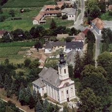
Exaltation of the Holy Cross church in Berzence
16.3 km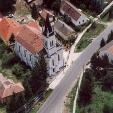
Evangélikus templom (Gyékényes)
26.8 kmVisited this place? Tap the stars to rate it and share your experience / photos with the community! Try now! You can cancel it anytime.
Discover hidden gems everywhere you go!
From secret cafés to breathtaking viewpoints, skip the crowded tourist spots and find places that match your style. Our app makes it easy with voice search, smart filtering, route optimization, and insider tips from travelers worldwide. Download now for the complete mobile experience.

A unique approach to discovering new places❞
— Le Figaro
All the places worth exploring❞
— France Info
A tailor-made excursion in just a few clicks❞
— 20 Minutes