Gyomaendrőd, town in Hungary
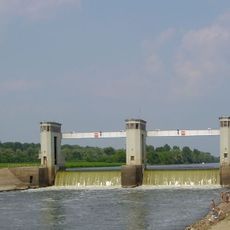
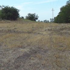
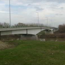
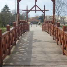
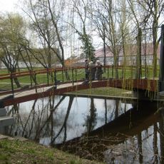
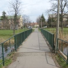
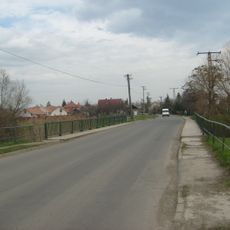
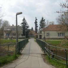
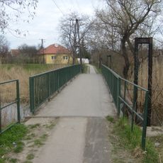
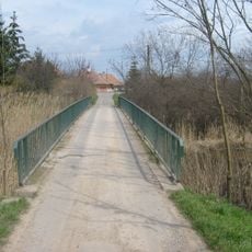
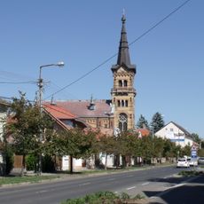
Gyomaendrőd is a small town on the Hármas-Körös River in the Southern Great Plain, formed from two separate towns merged in 1982. The landscape is flat with forests and meadows nearby, featuring a mix of old buildings and newer houses arranged along wide, open streets.
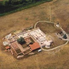
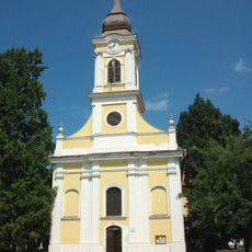
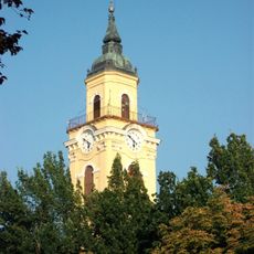
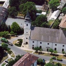
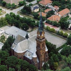
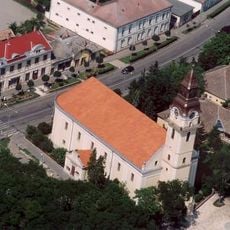
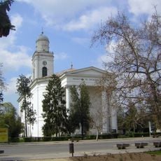
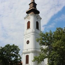
Gyoma was first mentioned in 1332 and Endrőd around 1416, but both towns were nearly abandoned during Ottoman wars. In the 18th century Calvinists returned to settle Gyoma and built their church in the early 1800s, while Endrőd was rebuilt by Slovaks and Hungarians who eventually integrated into the local community.
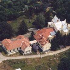
The name Gyomaendrőd comes from the merger of two separate towns in 1982, a division still visible in the town's layout today. Visitors can see how different communities settled here over time, with their churches and local museums telling stories of Calvinist, Slovak, and Hungarian heritage that shaped the place.
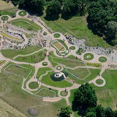
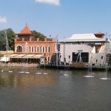
The town is easy to reach by car on highway 46 or by train on the Budapest-Szolnok-Békéscsaba line. The flat terrain is perfect for walking and cycling, and a thermal spa in a park with old oak trees offers relaxation and health treatments using mineral-rich spring water.
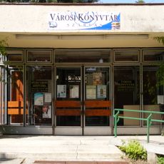
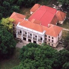
One special feature is the Kner Printing Museum, which displays old printing presses, books, and documents from the late 1800s when the Kner family started their printing business. The museum shows how books and posters were made over a century ago.
The community of curious travelers
AroundUs brings together thousands of curated places, local tips, and hidden gems, enriched daily by 60,000 contributors worldwide.