Enable Location

We need your location to show you interesting places around you

Discover nearby places

Find interesting locations and hidden gems around you

Precise directions

Get accurate directions and distances to places

Your location is never shared with other users. It's only used when you tap the location button.

Hármashatár-hegy

Log in to your account

Start exploring — it's free

Trusted by 62,065 travelers worldwide

Continue with Google
Continue with Apple
or

We will send you a code to connect

By continuing, you accept our Terms and Conditions and our Privacy Policy

Check your inbox

We've sent a pincode in your inbox. Please enter the code below.

Hármashatár-hegy

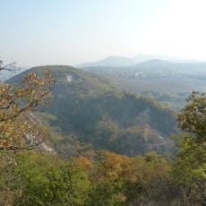
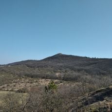
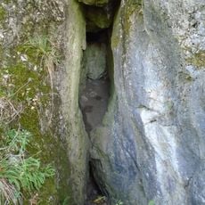
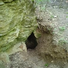
Hármashatár-hegy, Mountain summit in Budapest, Hungary.

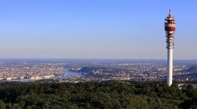
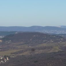
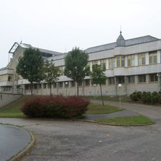
Dreihotterberg is a summit in Budapest reaching approximately 495 meters in elevation and ranks among the highest peaks among the city's 66 mountains. The top features a restaurant, television towers, and the Guckler Károly Lookout Tower, all accessible via the blue marked trail.

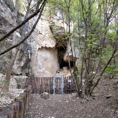
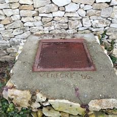
The mountain gained its name in the 19th century as the meeting point where three separate cities converged: Buda, Óbuda, and Pesthidegkút. This boundary marker role between settlements became central to its identity.

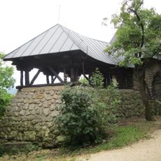
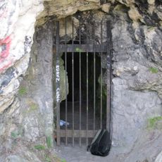
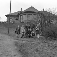
The summit hosts a forest school where groups and families come to learn about nature throughout the year. It serves as an outdoor classroom where visitors of all ages experience the local woodland and its wildlife.

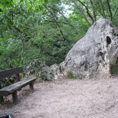
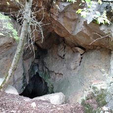
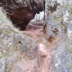
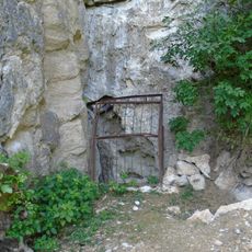
Access to the summit is via the blue marked trail, which passes through natural surroundings as it climbs. Wear appropriate clothing for the season and allow enough time for the walk at a comfortable pace.

The summit experiences temperatures several degrees cooler than downtown and can retain snow for up to two weeks longer than the surrounding areas. This pocket of cooler climate creates noticeable differences between the peak and the city below.

The community of curious travelers

AroundUs brings together thousands of curated places, local tips, and hidden gems, enriched daily by 60,000 contributors worldwide.

Start exploring
GPS coordinates
47.55500,18.99845
Latest update
December 7, 2025 19:29
« Hármashatár-hegy - Mountain summit in Budapest, Hungary » is provided by Around Us (aroundus.com). Images and texts are derived from Wikimedia project under a Creative Commons license. You are allowed to copy, distribute, and modify copies of this page, under the conditions set by the license, as long as this note is clearly visible.

Discover hidden gems everywhere you go!

From secret cafés to breathtaking viewpoints, skip the crowded tourist spots and find places that match your style. Our app makes it easy with voice search, smart filtering, route optimization, and insider tips from travelers worldwide. Download now for the complete mobile experience.

Around Us App Screenshot

A unique approach to discovering new places

Le Figaro

All the places worth exploring

France Info

A tailor-made excursion in just a few clicks

20 Minutes

Around Us
Travel Guide & Maps
Download

Send to your phone

QR Code
1

Open the camera app on your mobile.

2

Point at the QR code with your camera. A notification will appear.

3

Tap the notification to open the link.