Cún–Szaporca Oxbow System, منطقة رطبة في المجر
Location: Baranya County
Website: http://vpf.vizugy.hu/uploads/ddvizig/projekt/lezarult-fejlesztesek/regionalis/INTERREG_IV_vegleges_master_plan_magyar.pdf
Part of: Danube-Drava National Park
GPS coordinates: 45.79293,18.09004
Latest update: July 25, 2025 09:19
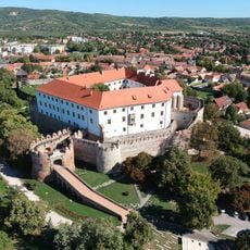
Siklós Castle
17.2 km
Harkany Spa
13.2 km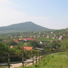
Villány-Gebirge
18 km
Szársomlyó
25.9 km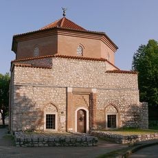
Malkocs Bej Mosque
17.6 km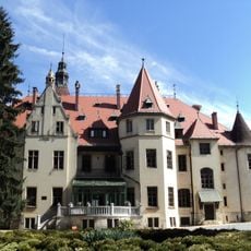
Mailáth Castle, Donji Miholjac
6.9 km
Beremend Crystal Cave
26.6 km
Bistrinci
26.1 km
Sveti Đurađ, Donji Miholjac
13.2 km
Rakitovica
11.6 km
Kućanci
15.8 km
Veliškovci
21.4 km
Beničanci
19.2 km
Šljivoševci
18.7 km
Ivanovo, Viljevo
6.7 km
Kapelna
9.5 km
Miholjački Poreč
13.4 km
Sellyei Termálfürdő
20.8 km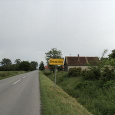
Brezovica, Marijanci
19.2 km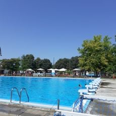
Beremendi strandfürdő
27 km
Basilica Minor of Visitation, Máriagyűd
16.9 km
Spirál
27.4 km
Donje Predrijevo
20.4 km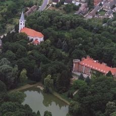
Church of the Nativity of the Virgin Mary in Görcsöny
19.9 km
Élet
27.4 km
Hilleprand von Prandau Castle
6.9 km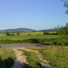
Tenkes
16.4 km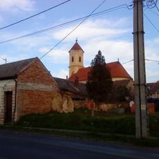
Serbian Orthodox Church in Siklós
17.7 kmReviews
Visited this place? Tap the stars to rate it and share your experience / photos with the community! Try now! You can cancel it anytime.
Discover hidden gems everywhere you go!
From secret cafés to breathtaking viewpoints, skip the crowded tourist spots and find places that match your style. Our app makes it easy with voice search, smart filtering, route optimization, and insider tips from travelers worldwide. Download now for the complete mobile experience.

A unique approach to discovering new places❞
— Le Figaro
All the places worth exploring❞
— France Info
A tailor-made excursion in just a few clicks❞
— 20 Minutes