
Ceglédi-rét Természetvédelmi Terület, مرج في المجر
Location: Cegléd
Location: Pest County
Inception: 1990
GPS coordinates: 47.17313,19.76712
Latest update: March 7, 2025 05:03
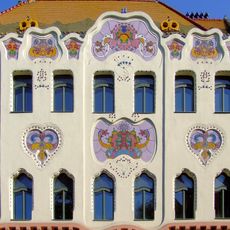
Cifra Palace
30 km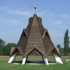
Geographical centre of Hungary
19.9 km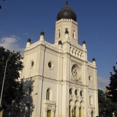
House of Science and Technics (Kecskemét)
29.9 km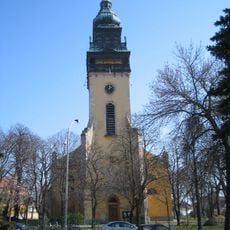
Reformed Church, Nagykőrös
15.6 km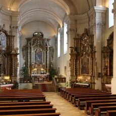
Piarist Church (Kecskemét)
29.8 km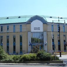
Katona József Library
29.9 km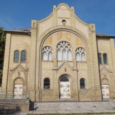
Cegléd Synagogue
1.9 km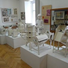
János Arany Museum
14.8 km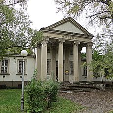
Kecskeméti Katona József Múzeum
29.3 km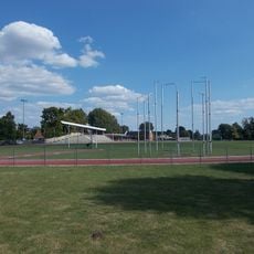
Ecsedi László Sportcentrum
14.2 km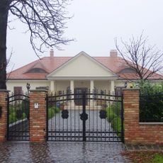
Perczel Mansion in Gomba
28.2 km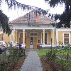
Scitovszky-kúria
28.3 km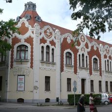
Lajos Kossuth Museum
2.4 km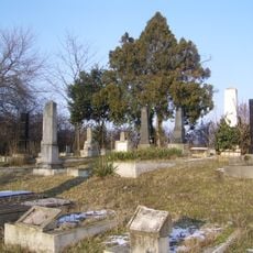
Jüdischer Friedhof (Örkény)
24.8 km
Leskowsky Hangszergyűjtemény
29.7 km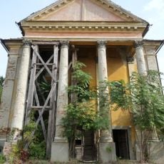
Abony Synagogue
18.3 km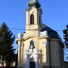
Our Lady of Mercy Church, Gomba
28.3 km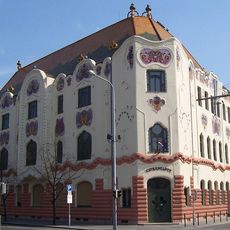
Kecskemét Gallery
30 km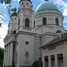
Reformed church in Cegléd
2.3 km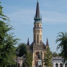
Lutheran Church
2.4 km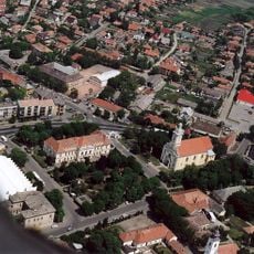
Szent István-templom (Abony)
18.2 km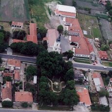
Evangélikus templom (Albertirsa)
13.5 km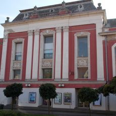
Kossuth House of Culture
2.1 km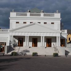
Városi Mozi
29.7 km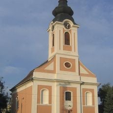
Roman Catholic church, Újhartyán
29.6 km
Great Alfold
26.1 km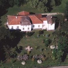
Blaskovich Mansion, Tápiószele
19.8 km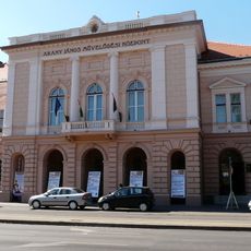
János Arany Cultural Centre
15.6 kmReviews
Visited this place? Tap the stars to rate it and share your experience / photos with the community! Try now! You can cancel it anytime.
Discover hidden gems everywhere you go!
From secret cafés to breathtaking viewpoints, skip the crowded tourist spots and find places that match your style. Our app makes it easy with voice search, smart filtering, route optimization, and insider tips from travelers worldwide. Download now for the complete mobile experience.

A unique approach to discovering new places❞
— Le Figaro
All the places worth exploring❞
— France Info
A tailor-made excursion in just a few clicks❞
— 20 Minutes