
Pálosszentkút, دير في المجر
Location: Petőfiszállás
Inception: 1940
GPS coordinates: 46.61300,19.84428
Latest update: March 11, 2025 18:52

National Historical Memorial Park of Ópusztaszer
23.8 km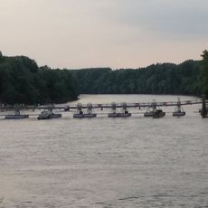
Pontoon bridge in Csongrád
26 km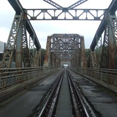
Railway bridge over the Tisza in Tiszaug
32.2 km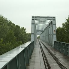
Szentes–csongrádi vasúti Tisza-híd
28.1 km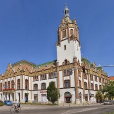
Kiskunfélegyháza Town Hall
11 km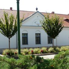
Hattyúház Building
11 km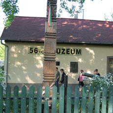
56-os Múzeum (Kiskunmajsa)
18.2 km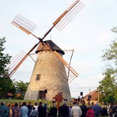
Sáfrik szélmalom
33.5 km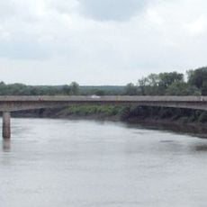
Szentes-csongrádi közúti Tisza-híd
28.2 km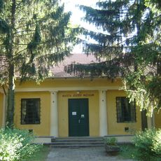
Koszta József Museum
31.8 km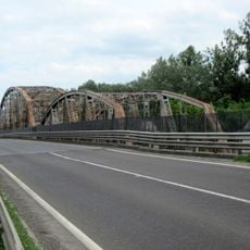
Road bridge over the Tisza in Tiszaug
32.2 km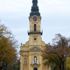
Church of the Visitation
11.1 km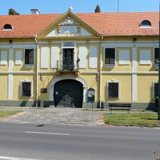
Kiskun Museum
11.4 km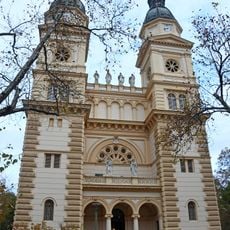
Saint Stephen of Hungary church in Kiskunfélegyháza
10.9 km
Orgoványi rétek
33.6 km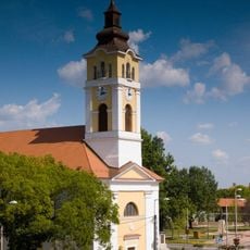
Saint Stephen of Hungary Church in Kistelek
19 km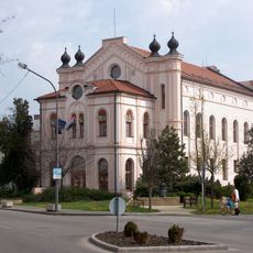
Public library of Szentes
32.6 km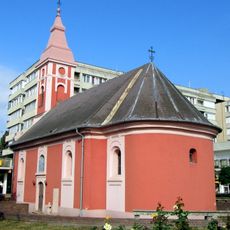
Saint Nicholas church in Szentes
32 km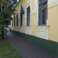
László Tari Museum
26 km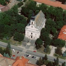
Our Lady Church, Csongrád
26.1 km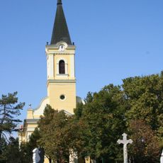
Saint Anthony of Padua Church
24.8 km
56-os kápolna
18.2 km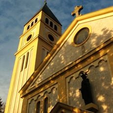
Sacred Heart Church in Szentes
32.5 km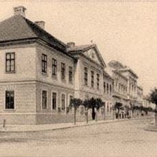
Old town hall
10.4 km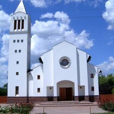
Saint Emeric Church ,Csengele
8 km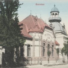
Református Kör
31.8 km
Kanizsai-ház
11.2 km
József Tóth Theatre
31.9 kmReviews
Visited this place? Tap the stars to rate it and share your experience / photos with the community! Try now! You can cancel it anytime.
Discover hidden gems everywhere you go!
From secret cafés to breathtaking viewpoints, skip the crowded tourist spots and find places that match your style. Our app makes it easy with voice search, smart filtering, route optimization, and insider tips from travelers worldwide. Download now for the complete mobile experience.

A unique approach to discovering new places❞
— Le Figaro
All the places worth exploring❞
— France Info
A tailor-made excursion in just a few clicks❞
— 20 Minutes