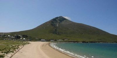
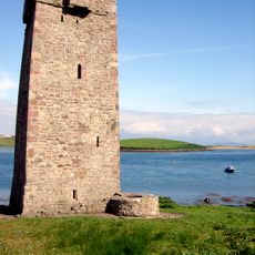
Slievemore, Mountain summit on Achill Island, Ireland
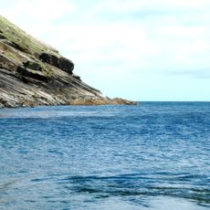
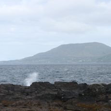
Slievemore is a mountain on Achill Island, off the west coast of Ireland, and is the second highest peak on the island at around 671 meters. Its cone-like shape makes it easy to spot from many points across the island, including from the shore near Dugort.
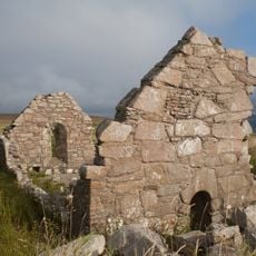
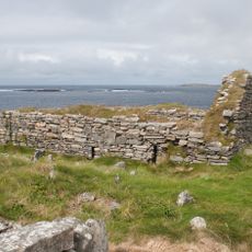
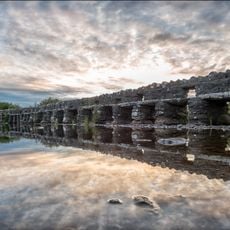
A community once lived in stone cottages at the base of the mountain, leaving behind a cluster of dwellings that can still be seen today. The settlement was abandoned in the mid-1800s, during the years of the Great Famine, when much of the local population left or perished.
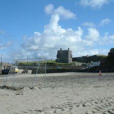
At the foot of the mountain sits an abandoned village whose stone walls remain standing, giving visitors a direct sense of how people once lived on this island. The site is open and easy to walk through, making it one of the most tangible reminders of rural Irish life on Achill.
Most walkers start from Dugort Beach, where the path up the slopes is easiest to follow. Sturdy footwear is a good idea, as the upper sections are steep and the ground can be uneven and rocky.
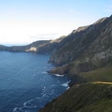
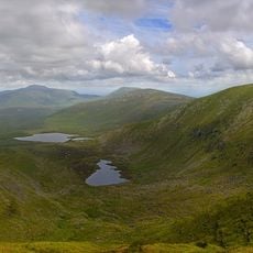
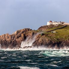
On clear days, the top reveals a view that takes in the Inishkea Islands, Croaghau, and the Nephin range all at once. These landmarks normally appear separate from ground level, but from up here they seem to belong to the same scene.
The community of curious travelers
AroundUs brings together thousands of curated places, local tips, and hidden gems, enriched daily by 60,000 contributors worldwide.