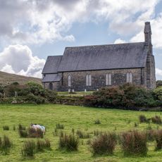
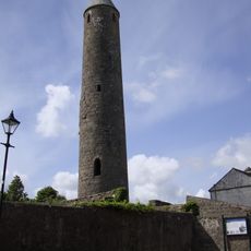
Erris Head, Protected coastal area at Mullet Peninsula, County Mayo, Ireland
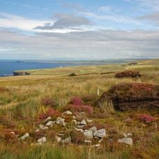
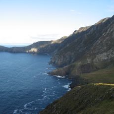
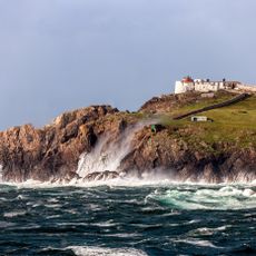
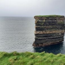
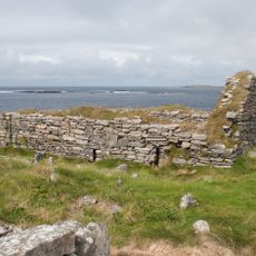
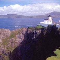
Erris Head is a promontory at the northern tip of the Mullet Peninsula in County Mayo, formed of acidic rocks such as quartzite, gneiss and Silurian schist and slate. Its exposed sea cliffs face mostly north and reach about 90 metres in the northeast. No road serves it; the headland is reached only by crossing fields.
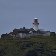
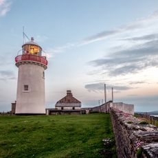
Erris Head is a promontory at the northernmost tip of the Mullet Peninsula in the barony of Erris, northwest County Mayo. It has long served as a landmark for mariners and weather forecasters. The headland and about 15 km of cliffs are designated a Special Area of Conservation under the EU Habitats Directive, with a 200 m marine strip protecting the nesting seabirds.
The Irish name Ceann Iorrais means "head of Erris", after the barony of Erris in which the headland lies. The head is a landmark for mariners and weather forecasters, and the cliffs and heath are grazed by sheep and visited by birdwatchers watching fulmars, choughs and wintering barnacle geese.
Getting there requires patience and solid footwear since access is only on foot through several fields via unpaved paths. Plan extra time for the journey as the location is remote and can quickly become unreachable in poor weather.
The 200 m of sea below the cliffs is part of the conservation site, protected specifically for the seabirds that nest above. Peregrine falcons and choughs also breed on the cliffs, and in winter barnacle geese graze the grassland on top. Irish hares and common frogs live on the headland.
The community of curious travelers
AroundUs brings together thousands of curated places, local tips, and hidden gems, enriched daily by 92,844 contributors worldwide.