
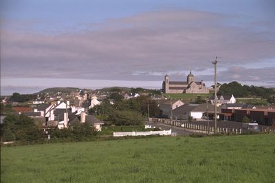
Carndonagh, town
Location: County Donegal
Elevation above the sea: 32 m
GPS coordinates: 55.25139,-7.26139
Latest update: April 7, 2025 14:27
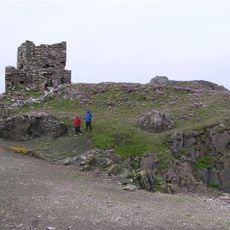
Carrickabraghy Castle
10.1 km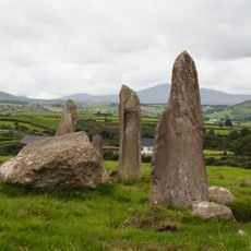
Bocan stone circle
7.6 km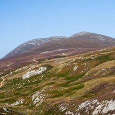
Raghtin More
13.1 km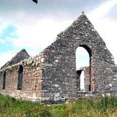
Clonca Church & Cross
5.9 km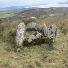
Portal Tomb von Ballyannan
14.9 km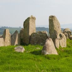
Laraghirril Court Tomb
6.8 km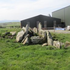
Court Tomb von Knockergrana
8.2 km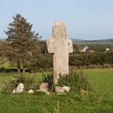
Carrowmore Early Ecclesiastical Site
4.6 km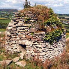
Cooly Skull House
14.5 km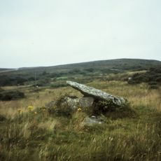
Portal tomb of Templemoyle
5.6 km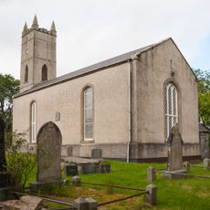
St Buadan's Church of Ireland
7.2 km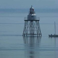
Moville Lighthouse
16.2 km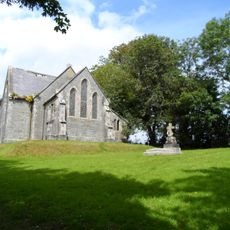
St Finian's Church of Ireland, Redcastle
13.1 km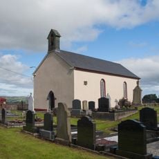
Donagh Church of Ireland, Carndonagh
739 m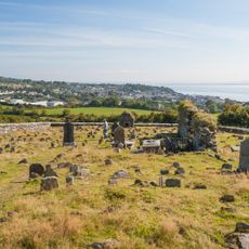
Cooly Graveyard
14.5 km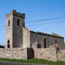
Clonmany Church of Ireland
10.7 km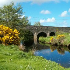
Gleneely Bridge
5 km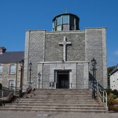
Church of St Pius X, Moville
15.8 km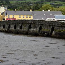
Malin Bridge
4.7 km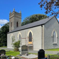
Cloncha Church of Ireland
4.9 km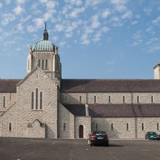
Church of the Sacred Heart
186 m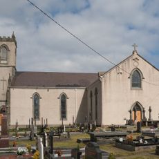
St Mary's Church
7.5 km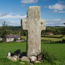
Carrowmore South Cross
4.6 km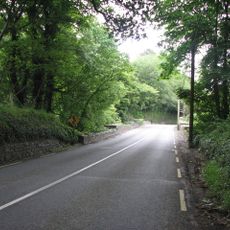
Glebe Bridge
14.8 km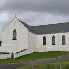
St Mary's Church
8.8 km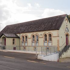
St Congal's Temperance Hall, Bocan
7.4 km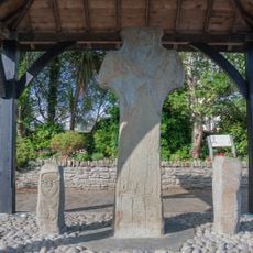
Carndonagh Cross
696 m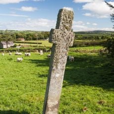
Carrowmore North Cross
4.6 kmVisited this place? Tap the stars to rate it and share your experience / photos with the community! Try now! You can cancel it anytime.
Discover hidden gems everywhere you go!
From secret cafés to breathtaking viewpoints, skip the crowded tourist spots and find places that match your style. Our app makes it easy with voice search, smart filtering, route optimization, and insider tips from travelers worldwide. Download now for the complete mobile experience.

A unique approach to discovering new places❞
— Le Figaro
All the places worth exploring❞
— France Info
A tailor-made excursion in just a few clicks❞
— 20 Minutes