Enable Location

We need your location to show you interesting places around you

Discover nearby places

Find interesting locations and hidden gems around you

Precise directions

Get accurate directions and distances to places

Your location is never shared with other users. It's only used when you tap the location button.

County Donegal

Log in to your account

Start exploring — it's free

Trusted by 61,556 travelers worldwide

Continue with Google
Continue with Apple
or

We will send you a code to connect

By continuing, you accept our Terms and Conditions and our Privacy Policy

Check your inbox

We've sent a pincode in your inbox. Please enter the code below.

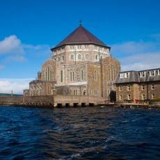
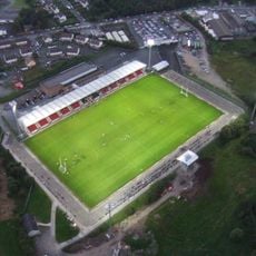
County Donegal, County in Ulster, Ireland

Description

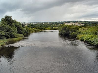
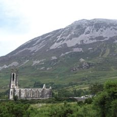
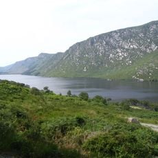
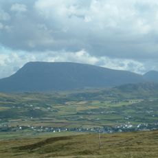
County Donegal is an administrative division in northern Ireland that spreads between jagged Atlantic bays and rolling hill ranges. The landscape alternates among wide beaches, rocky cliffs, moorland areas and green valleys that reach up to the border with Northern Ireland.

History

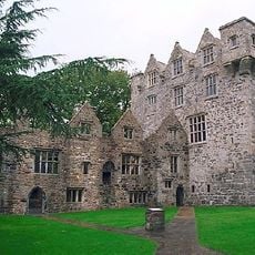
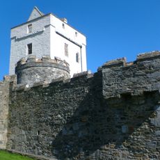
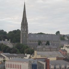
The administrative division emerged in the 16th century from the ancient kingdom of Tyrconnell, governed by the O'Donnell clan. The family left Ireland after their failed rebellion in 1607, leaving the territory under English administration.

Culture

The Irish language is spoken daily across the western districts and appears first on road signs throughout those areas. Local pubs hold regular music sessions where fiddle playing follows a fast, rhythmic style that differs from patterns heard elsewhere in the country.

Practical

The coastal roads wind narrow and steep through much of the northwest, especially along the peninsulas. Public connections between smaller settlements are limited, so hiring or bringing a vehicle makes exploring the remote bays and headlands easier.

Did you know?

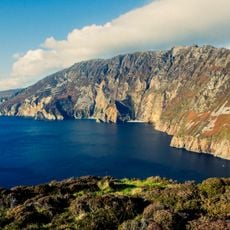
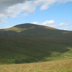
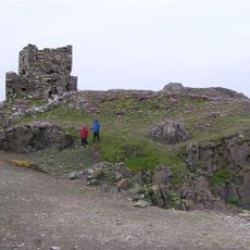
Slieve League cliffs rise over 600 meters (2000 feet) directly from the sea on the southwestern coast, ranking among the highest in Europe. A narrow walking trail along the summit follows the ridgeline, offering views across several neighboring counties on clear days.

Location
Capital city
Lifford
Elevation above the sea
749 m
Part of
Northwest Ireland and Lakelands
Shares border with
County Leitrim, County Fermanagh, County Tyrone, County Londonderry, Northern Ireland
GPS coordinates
54.92000,-8.00000
Latest update
December 14, 2025 20:54

AroundUs brings together thousands of curated places, local tips, and hidden gems, enriched daily by 60,000 contributors worldwide. Discover all places nearby (Ulster).

« County Donegal - County in Ulster, Ireland » is provided by Around Us (aroundus.com). Images and texts are derived from Wikimedia project under a Creative Commons license. You are allowed to copy, distribute, and modify copies of this page, under the conditions set by the license, as long as this note is clearly visible.

Discover hidden gems everywhere you go!

From secret cafés to breathtaking viewpoints, skip the crowded tourist spots and find places that match your style. Our app makes it easy with voice search, smart filtering, route optimization, and insider tips from travelers worldwide. Download now for the complete mobile experience.

Around Us App Screenshot

A unique approach to discovering new places

Le Figaro

All the places worth exploring

France Info

A tailor-made excursion in just a few clicks

20 Minutes

Around Us
Travel Guide & Maps
Download

Send to your phone

QR Code
1

Open the camera app on your mobile.

2

Point at the QR code with your camera. A notification will appear.

3

Tap the notification to open the link.