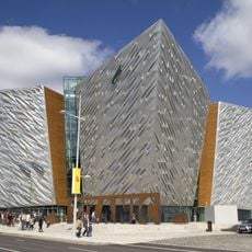
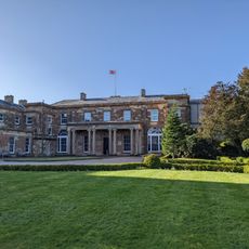
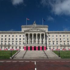
Ulster, Province in northern Ireland
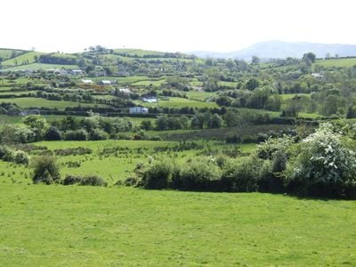
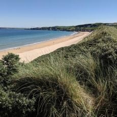
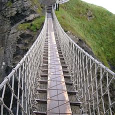
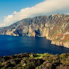
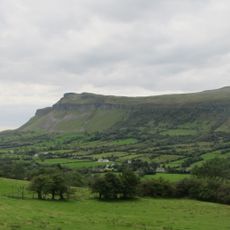
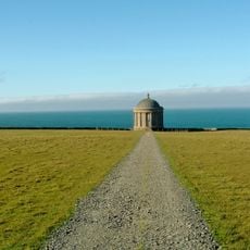
Ulster is a historic province that covers the northern part of Ireland and spans two distinct political territories. The landscape ranges from the rugged coastline of Donegal through the rolling hills of Armagh to the dramatic cliffs and glens of Antrim.
The division of Ireland in 1921 split the territory into two political entities, with six counties remaining under British control. The three southern counties joined the newly formed Irish Free State, creating a border that still runs through the landscape today.
The region maintains a living tradition of music and storytelling that unfolds in pubs and community centers across both sides of the border. Visitors often encounter spontaneous sessions with fiddle and bodhrán, where locals share old songs and modern interpretations alike.
Belfast serves as the main transport hub with an airport and regular ferry connections to Great Britain, while Dublin also offers access to the southern counties. The border between the two territories is now open, allowing easy travel throughout the entire region without checks.
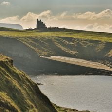
The northernmost point of the entire island sits in County Donegal, which belongs politically to the Republic of Ireland rather than to Northern Ireland. This geographical quirk surprises many visitors who assume the north naturally aligns with the political north.
The community of curious travelers
AroundUs brings together thousands of curated places, local tips, and hidden gems, enriched daily by 60,000 contributors worldwide.