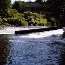
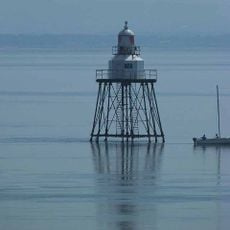
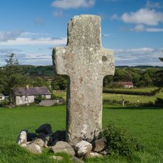
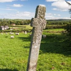
Lough Foyle, Disputed estuary between Northern Ireland and Ireland.
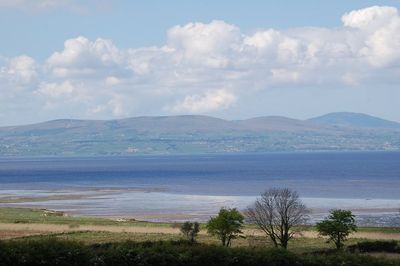
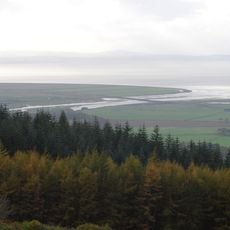
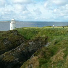
Lough Foyle is an estuary lying between Northern Ireland and Ireland, stretching about 26 kilometers with widths ranging from 1.6 to 16 kilometers. The waterway forms a natural boundary along Ireland's north coast and features shallow shores with tidal marshes and mudflats.
After World War II, German naval vessels were brought to these waters and deliberately sunk in 1945 as part of Operation Deadlight. This wartime episode left a historical mark on the location as a place where surplus ships were disposed of.
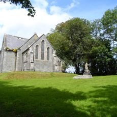
A bird sanctuary run by the Royal Society for the Protection of Birds draws visitors interested in watching water birds in their natural setting. The site reflects how local communities value protecting coastal wildlife and the species that depend on these waters.
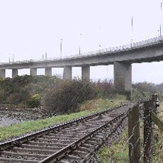
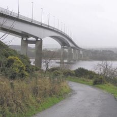
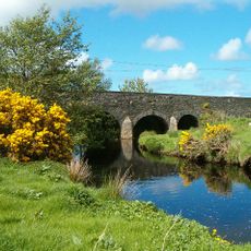
A seasonal ferry service runs between Greencastle and Magilligan across the water. The Belfast-Derry railway line hugs the eastern shore, making it easy for visitors to explore the area by rail.
Its territorial ownership has remained unsettled since Ireland's partition in 1921, with both the United Kingdom and Ireland maintaining competing claims. This unresolved status makes the location a place where the border dispute is literally in the water.
The community of curious travelers
AroundUs brings together thousands of curated places, local tips, and hidden gems, enriched daily by 60,000 contributors worldwide.