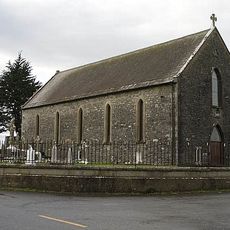
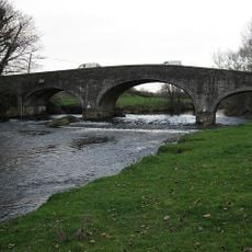
Crannagh, Rural settlement in County Tipperary, Ireland.
Crannagh is a barony in the north-west of County Kilkenny, covering 210.8 square kilometres from the Nore valley west to the County Tipperary border. It holds 19 civil parishes and 182 townlands, including Freshford, Tullaroan, Kilmanagh and Threecastles. Its highest point is Clomantagh Hill at 349 metres, a sandstone formation resting on the county's limestone.
Crannagh takes its name from the Irish Crannach, meaning 'abounding in trees or woodland'. It formed part of the historic kingdom of Osraige and the territory of the Ua Caibhdheanaigh, chiefs of Magh Airbh. The 'Manor of Crannagh' is recorded in 1311, and the 'Barrony of Cranagh' first appears in 1587; the barony was later surveyed in the Down Survey of 1655–1656.
Crannagh is the English form of the Irish Crannach, from crann (tree) with the collective ending -ach, meaning woodland. The barony's older territory name, Magh Airbh or Moy Arve, recalled Narbh, a son of Úgaine Mór. The name Barrony of Cranagh first appears in 1587 in a book of ploughlands.
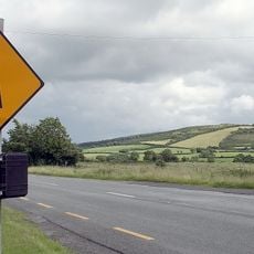
Crannagh is a barony in north-west County Kilkenny, not Tipperary; the R693 crosses it and the Nore runs along its eastern side. Freshford is its chief town, and the barony stretches west to the Tipperary border. Minor roads link the towns of Tullaroan, Kilmanagh and Threecastles.
Crannagh is a barony, not a settlement: it covers 210.8 sq km of north-west County Kilkenny, made up of 19 civil parishes and 182 townlands. Its highest point is Clomantagh Hill at 349 m, a sandstone outcrop resting on the county's limestone base. The Loughans turlough is a designated area of Special Conservation.
The community of curious travelers
AroundUs brings together thousands of curated places, local tips, and hidden gems, enriched daily by 94,367 contributors worldwide.