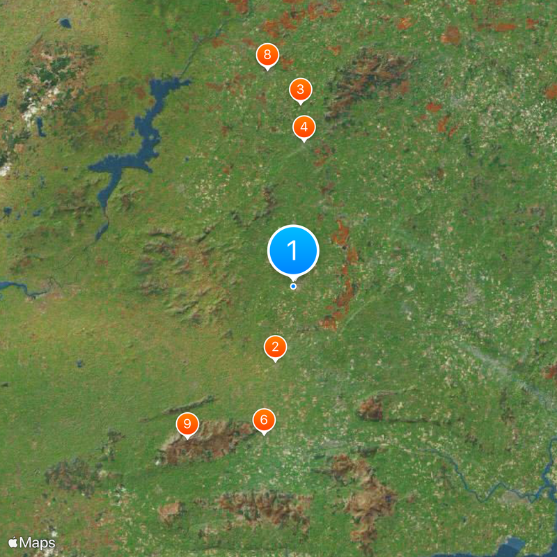
County Tipperary, Administrative division in Munster, Ireland.
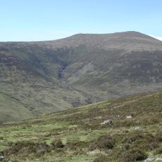
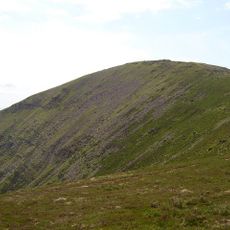
County Tipperary is a former administrative division in Munster that remains part of Ireland's local government structure. The territory covers inland terrain between the Shannon River to the west and the Galtee Mountains to the south.
The territory was divided into North Tipperary and South Tipperary in 1898, with each part maintaining separate administrative centers and councils. This division ended in 2014 through local government reform that merged both areas into a single authority.
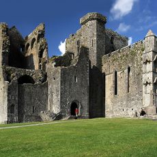
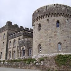
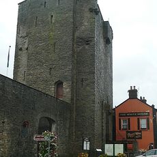
The Rock of Cashel stands as a medieval complex on a limestone outcrop, featuring round towers, crosses, and Gothic cathedral ruins from the 12th century.
Regional roads link the main towns of Cashel, Thurles, Clonmel and Nenagh, providing access to archaeological sites and countryside. Most landmarks lie outside built-up areas and require a vehicle or organized tours.
The territory is home to Coolmore Stud, the world's largest thoroughbred horse breeding operation housing international stallions and broodmares. Many rural roads pass by stud farms and pastures where these animals are raised.
The community of curious travelers
AroundUs brings together thousands of curated places, local tips, and hidden gems, enriched daily by 60,000 contributors worldwide.