
Rath Bridge, bridge in Rath, County Donegal, Ireland
Location: Rath
Location: County Donegal
GPS coordinates: 54.58611,-8.08027
Latest update: May 9, 2025 12:05
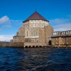
St Patrick's Purgatory
13.7 km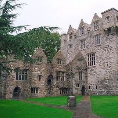
Donegal Castle
7.9 km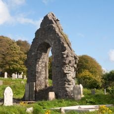
Donegal Friary
7.5 km
Abbey Vocational School
7.3 km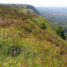
Cliffs of Magho
17.4 km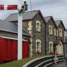
Donegal Railway Heritage Centre
8.1 km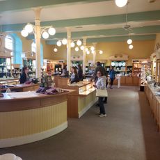
Belleek Pottery Ltd
11.9 km
Assaroe Abbey
11.7 km
Magherabeg Friary
6.6 km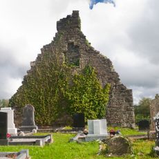
Drumhome Old Church
5.1 km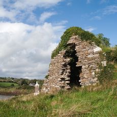
Inver Old Church
14.6 km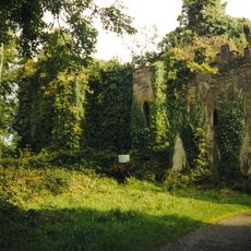
Castle Caldwell
13 km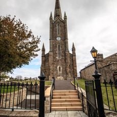
Donegal Town Church of Ireland
7.9 km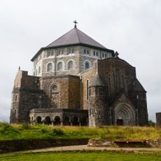
St Patrick's Basilica, Station Island
13.7 km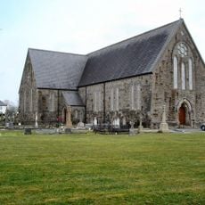
St Agatha’s Church, Clar Bridge
9.2 km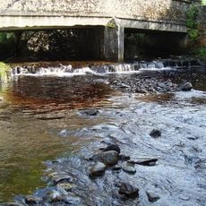
Ballykillowen Bridge
6.1 km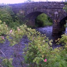
Drumboarty Bridge
13.2 km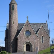
Church of the Four Masters
7.8 km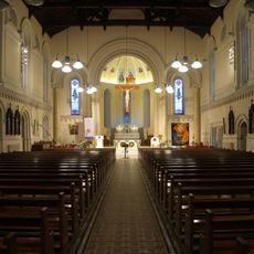
St Patrick's Church, Ballyshannon
11.6 km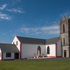
St Mary's Church, Frosses
13.9 km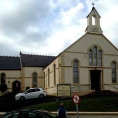
Donegal Town Presbyterian Church
8.1 km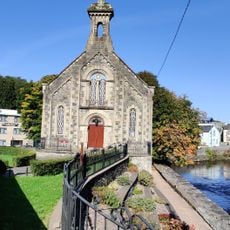
Donegal Town Methodist Church
8 km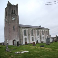
St Anne's Church of Ireland
11.8 km
Drumagraa Bridge
14.2 km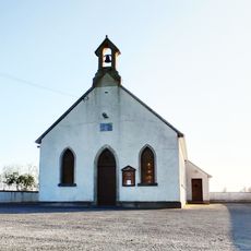
Inver Methodist Church
12.9 km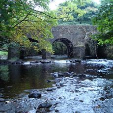
Tawnawully Bridge
11.5 km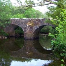
Thrushbank Bridge
10.1 km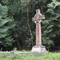
Major General White Memorial
11.6 kmReviews
Visited this place? Tap the stars to rate it and share your experience / photos with the community! Try now! You can cancel it anytime.
Discover hidden gems everywhere you go!
From secret cafés to breathtaking viewpoints, skip the crowded tourist spots and find places that match your style. Our app makes it easy with voice search, smart filtering, route optimization, and insider tips from travelers worldwide. Download now for the complete mobile experience.

A unique approach to discovering new places❞
— Le Figaro
All the places worth exploring❞
— France Info
A tailor-made excursion in just a few clicks❞
— 20 Minutes