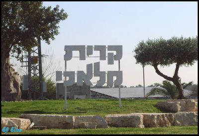
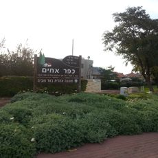
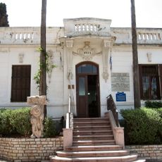
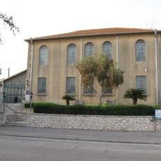
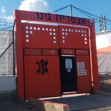
Kiryat Malachi, city in Israel
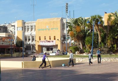
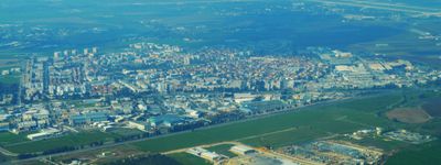
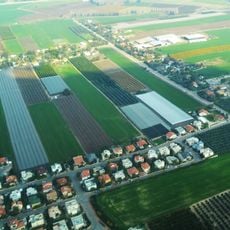
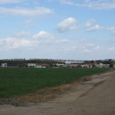
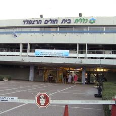
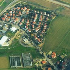
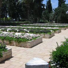
Kiryat Malachi is a city in southern Israel, located about 17 kilometers northeast of Ashkelon. The city contains residential neighborhoods, schools serving around 5,000 students, and a sports stadium called Teddy Arena with capacity for about 1,000 spectators where local soccer teams compete.
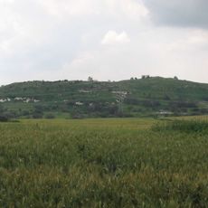
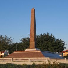
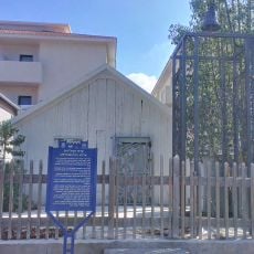
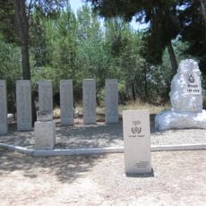
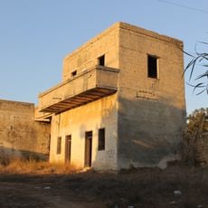
The city was founded in 1951 to provide housing for newly arrived immigrants, many from Arab and Muslim countries seeking to establish new lives. The location previously held the village of Qastina, which was abandoned in 1948 during a war.
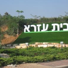
The name comes from Hebrew and means 'City of Angels', reflecting the support provided by the Jewish community of Los Angeles during its founding. Today the city is home to diverse communities, with residents from Ethiopia and the former Soviet Union forming significant parts of the population.
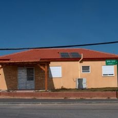
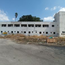
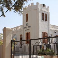
The city is accessible through main roads and a central junction called Malakhi Junction where many buses and cars pass daily. Visitors can explore various neighborhoods including the growing Nachalat Har Chabad district in the south with new residential buildings.
A former mayor named Moshe Katsav, who led the city at just 24 years old, later became Israel's eighth president. This connection shows how the city has produced figures of national importance.
The community of curious travelers
AroundUs brings together thousands of curated places, local tips, and hidden gems, enriched daily by 60,000 contributors worldwide.