Chest opened
+${chestReward.xp} XP
Explorer
NOUVEAU ×${chestReward.collectible.quantity}
tapez pour fermer
Chest locked

Open chests in the app

Around Us is built for your phone — chests unlock when you walk, explore and capture nearby places.

Enable Location

We need your location to show you interesting places around you

Discover nearby places

Find interesting locations and hidden gems around you

Precise directions

Get accurate directions and distances to places

Your location is never shared with other users. It's only used when you tap the location button.

Mazkeret Batya

Log in to your account

Start exploring — it's free

Trusted by 72,943 travelers worldwide

Continue with Google
Continue with Apple
or

We will send you a code to connect

By continuing, you accept our Terms and Conditions and our Privacy Policy

Check your inbox

We've sent a pincode in your inbox. Please enter the code below.

Mazkeret Batya
Discussion Reviews 1 Photos
31.2k Popularity

Mazkeret Batya, Agricultural settlement in Central District, Israel

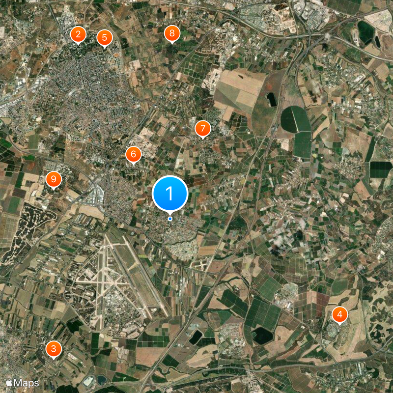
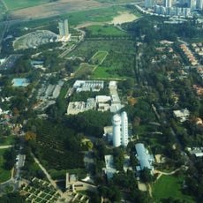
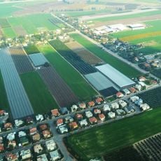
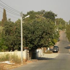
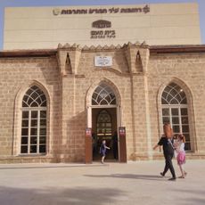
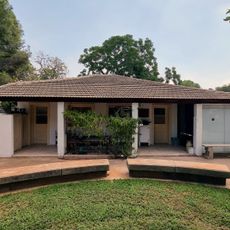
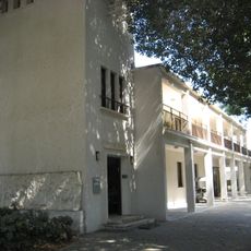
Mazkeret Batya is an agricultural settlement in the Central District, situated southeast of Rehovot and covering approximately 7.4 square kilometers. The community sits at about 62 meters above sea level and features residential areas, green spaces, and infrastructure typical of rural Israeli settlements of its size.

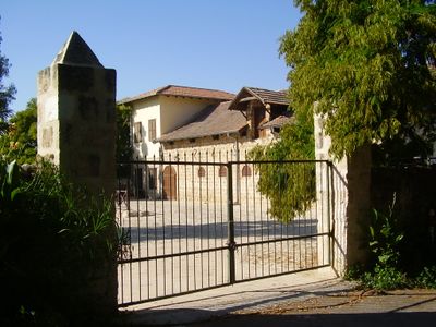
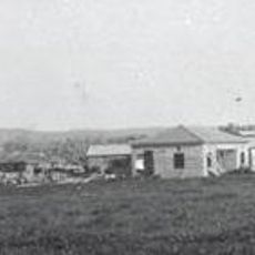
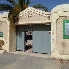
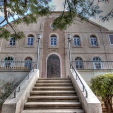
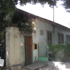
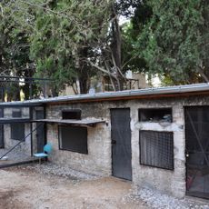
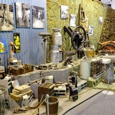
The settlement was founded in 1883 by eleven Jewish families from Pavlova, Belarus, and was initially called Ekron before being renamed in 1887. The change honored the Rothschild family, whose financial support and vision made the agricultural project possible.

The settlement's name honors Betty Solomon de Rothschild, mother of Baron Edmond James de Rothschild, who purchased the land to support Jewish farming. Residents today maintain a strong connection to these agricultural roots that shaped the community's identity from its earliest days.

The settlement sits about 25 kilometers from Tel Aviv and maintains direct connections to major urban areas including Jerusalem and Rehovot. Visitors should expect a rural character with basic services and reliable transportation links to nearby cities.

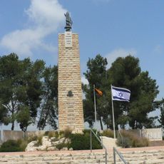
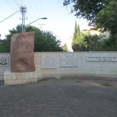
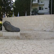
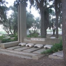
During Israel's War of Independence, the settlement served as a key departure point for convoys heading to Jerusalem and housed a field hospital for fighters. This role made it a strategic location during this defining period.

The community of curious travelers

AroundUs brings together thousands of curated places, local tips, and hidden gems, enriched daily by 60,000 contributors worldwide.

Start exploring
Inception
1883
Elevation above the sea
62 m
GPS coordinates
31.85454,34.84195
Latest update
December 20, 2025 01:35
Reviews
Share your experience

No review yet

Discussions
Start a discussion...

No discussion yet

« Mazkeret Batya - Agricultural settlement in Central District, Israel » is provided by Around Us (aroundus.com). Images and texts are derived from Wikimedia project under a Creative Commons license. You are allowed to copy, distribute, and modify copies of this page, under the conditions set by the license, as long as this note is clearly visible.

Discover hidden gems everywhere you go!

From secret cafés to breathtaking viewpoints, skip the crowded tourist spots and find places that match your style. Our app makes it easy with voice search, smart filtering, route optimization, and insider tips from travelers worldwide. Download now for the complete mobile experience.

Around Us App Screenshot

A unique approach to discovering new places

Le Figaro

All the places worth exploring

France Info

A tailor-made excursion in just a few clicks

20 Minutes

Around Us
Travel Guide & Maps
Download

Send to your phone

QR Code
1

Open the camera app on your mobile.

2

Point at the QR code with your camera. A notification will appear.

3

Tap the notification to open the link.