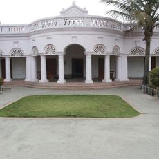
Gopalganj district, Administrative district in Bihar, India
Gopalganj district is an administrative region in Bihar's Saran division, covering agricultural lands with several urban centers spread across the area. The territory is divided into fourteen administrative blocks that together encompass numerous villages and smaller towns.
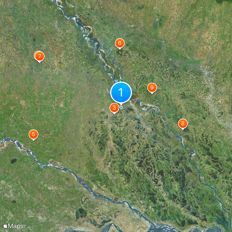
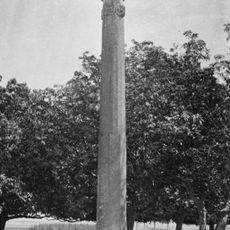
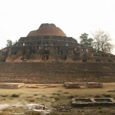
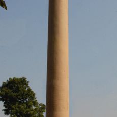
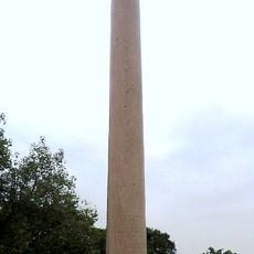
The region has prehistoric roots revealed through Neolithic archaeological discoveries at nearby Chirand, showing continuous human habitation over millennia. These findings demonstrate that successive civilizations developed and flourished in this landscape across ancient periods.
Bhojpuri is the everyday language here, spoken by most residents and deeply woven into local traditions and celebrations. This linguistic heritage shapes how people interact and pass down their customs through generations.
The region is accessible through a network of roads connecting the various administrative blocks and supporting local transportation. Visitors should know that infrastructure in more rural areas can be basic, so planning ahead according to local conditions is helpful.
The region is recognized for intensive sugarcane farming and operates several sugar mills that drive the local economy. These factories have shaped daily life for generations and make agriculture the lifeblood of the area.
The community of curious travelers
AroundUs brings together thousands of curated places, local tips, and hidden gems, enriched daily by 60,000 contributors worldwide.