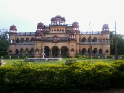
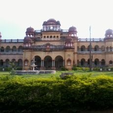
Balangir district, Administrative district in Odisha, India
Balangir district is an administrative area in western Odisha organized into three subdivisions: Balangir, Patnagarh, and Titilagarh. The region sits at low elevation and contains agricultural land dotted with villages and towns connected by roads and pathways.
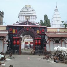
This region traces back to ancient Kalinga, and in the seventh century, Chinese pilgrim Xuanzang documented a monastery at Paikmal holding Buddhist treasures. Such early religious ties shaped how communities in this area developed their cultural practices.
Local communities gather to celebrate Sital Sasthi, Nuakhai, and Bhaijuntia with rituals that connect people to the seasons and their land. Dalkhai folk dances performed throughout the year reflect how residents express their heritage through movement and music.
The region is primarily agricultural, so exploring works best during farming seasons when the landscape reflects active cultivation and harvesting. Plan your visit after the monsoon when roads are dry and easier to travel through.
Ranipur-Jharial contains a rare open-air temple dedicated to Yoginis built during the Somavanshi period, one of only five such structures existing in India. Visitors enter under the open sky rather than beneath a ceiling, creating a distinctly different experience from typical enclosed temples.
The community of curious travelers
AroundUs brings together thousands of curated places, local tips, and hidden gems, enriched daily by 60,000 contributors worldwide.