Enable Location

We need your location to show you interesting places around you

Discover nearby places

Find interesting locations and hidden gems around you

Precise directions

Get accurate directions and distances to places

Your location is never shared with other users. It's only used when you tap the location button.

Purnia district

Log in to your account

Start exploring — it's free

Trusted by 63,516 travelers worldwide

Continue with Google
Continue with Apple
or

We will send you a code to connect

By continuing, you accept our Terms and Conditions and our Privacy Policy

Check your inbox

We've sent a pincode in your inbox. Please enter the code below.

Discussion Reviews 3 Photos
44.9k Popularity

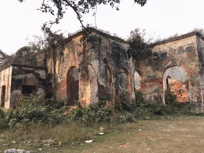
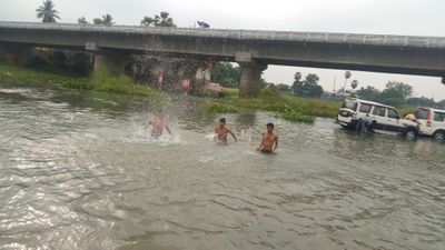
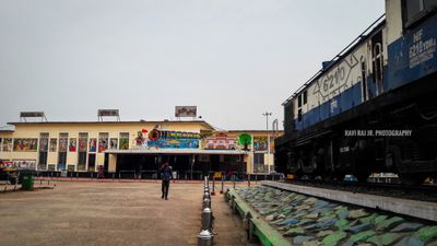
Purnia district, Administrative district in Bihar, India

Purnia district is an administrative region in eastern Bihar that spans across vierzehn blocks with numerous villages distributed throughout its territory. The Ganges River forms a natural boundary, shaping the landscape and geography of the entire area.

The district was formally established as an administrative region in 1770 during British rule, building upon previous structures from the Mughal period. This organizational framework shaped the region's development through subsequent centuries.

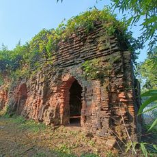
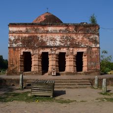
The district population includes a mix of Hindu and Muslim communities, represented by temples like Puran Devi Temple and annual Urs Mela celebrations.

The region is well connected through an established network of railway and road links that integrate it with major cities across Bihar. This infrastructure makes it straightforward for visitors to navigate between different areas of the district.

Every Independence Day since 1947, Purnia district holds a special flag hoisting ceremony at precisely 12:07 AM, marking its participation in Indian independence.

The community of curious travelers

AroundUs brings together thousands of curated places, local tips, and hidden gems, enriched daily by 60,000 contributors worldwide.

Start exploring
Location
Capital city
Purnia
Shares border with
Madhepura district, Katihar district
GPS coordinates
25.78330,87.46670
Latest update
December 14, 2025 20:26
Reviews
Share your experience

No review yet

Discussions
Start a discussion...

No discussion yet

« Purnia district - Administrative district in Bihar, India » is provided by Around Us (aroundus.com). Images and texts are derived from Wikimedia project under a Creative Commons license. You are allowed to copy, distribute, and modify copies of this page, under the conditions set by the license, as long as this note is clearly visible.

Discover hidden gems everywhere you go!

From secret cafés to breathtaking viewpoints, skip the crowded tourist spots and find places that match your style. Our app makes it easy with voice search, smart filtering, route optimization, and insider tips from travelers worldwide. Download now for the complete mobile experience.

Around Us App Screenshot

A unique approach to discovering new places

Le Figaro

All the places worth exploring

France Info

A tailor-made excursion in just a few clicks

20 Minutes

Around Us
Travel Guide & Maps
Download

Send to your phone

QR Code
1

Open the camera app on your mobile.

2

Point at the QR code with your camera. A notification will appear.

3

Tap the notification to open the link.