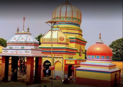
Siwan district, Administrative district in Bihar, India
Siwan district is an administrative region in Bihar state featuring predominantly agricultural landscapes and rural settlements. The area is connected through multiple railway stations and road networks that link it to larger urban centers and adjoining districts.
The region was once part of the ancient Kosala Kingdom and later administered as a subdivision of Saran until its establishment as a separate district in 1976. This division marked a significant administrative reorganization of the area.
Bhojpuri is the primary language spoken in daily life across the region, with Hindi and Urdu also heard among local communities. This linguistic diversity shapes how people interact and communicate throughout towns and villages.
The district is accessible through established railway and road connections that make navigation straightforward for visitors. Planning ahead regarding local transportation options helps when traveling between villages and larger towns in the area.
The district shows interesting demographic patterns when compared with other regions in the state. The gender ratio among residents differs notably from many neighboring areas, reflecting local population characteristics.
The community of curious travelers
AroundUs brings together thousands of curated places, local tips, and hidden gems, enriched daily by 60,000 contributors worldwide.
Kesaria stupa
47.8 km
Thawe Mandir
25.5 km
Ara–Chhapra Bridge
66.9 km
Kahaum pillar
55.1 km
Kesariya stupa
47.8 km
Vaishali Pillar
73.8 kmParashanatha Temple, Arrah
76.1 km
Lauriya-Areraj Ashoka Pillar
46.1 kmBeyasi Ballia bridge
66.9 km
Dr. Rajendra Prasad house
14.5 kmMir Ashraf Jama Mosque and Pucca Well and ablution tank
78.3 km
Maner Tank
78.3 kmA Banyan grove containing traces of ancient building
74 km
Maner mound and brick walls near survey plot 399
77.2 kmManjhi Ruins
43.5 km
Sagardih fort and stupa
62.8 kmLarge dih or mound
63.9 kmLarge flat-topped mound of ruins called Jharmatiya
63.3 km
Relic Stupa
75.3 kmDih or mound apparently the remains of a Buddhist stupa
69.6 kmExtensive mound
49.7 kmManer mound and brick walls near survey plots 608 and 611
77.2 kmShāh Daulat Dargāh
78.2 kmLong low mound of ruins
58.6 kmMound of Brick ruins called Asmanpur dih
59.5 kmKuchiā Tank
64.8 kmCircular shaped mound and the remains of a stupa
64 kmChakdāhwā Tank
65.4 kmDiscover hidden gems everywhere you go!
From secret cafés to breathtaking viewpoints, skip the crowded tourist spots and find places that match your style. Our app makes it easy with voice search, smart filtering, route optimization, and insider tips from travelers worldwide. Download now for the complete mobile experience.
A unique approach to discovering new places❞
— Le Figaro
All the places worth exploring❞
— France Info
A tailor-made excursion in just a few clicks❞
— 20 Minutes