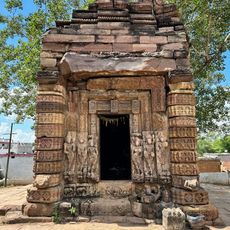
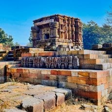
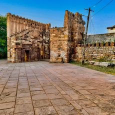
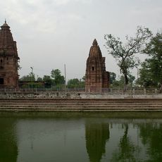
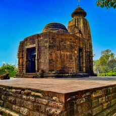
Bilaspur district, Administrative district in Chhattisgarh, India
Bilaspur district is an administrative division in Chhattisgarh that covers roughly 3475 square kilometers of varied terrain. The region is subdivided into smaller administrative units that encompass numerous villages and urban areas throughout the district.
The district was ruled by the Bhonsla Rajas of Nagpur until 1818, after which it became part of British India. This transition marked a significant shift in the region's governance and administration.
The district takes its name from Bilasa Devi, a fisherwoman who founded the city according to local stories passed down through families. This origin story remains an important part of how people here understand their place.
Visitors should know that the district covers a large area with different access points depending on where you want to go. Exploring different parts may require varying travel times and means of transportation.
The headquarters of South Eastern Coalfields, the largest subsidiary of Coal India, is located in this district. The area is also known for significant cement production, which shows its economic importance to the region.
Location: Bilaspur division
Capital city: Bilaspur
Shares border with: Dindori district, Janjgir–Champa district, Korba district
Website: http://bilaspur.nic.in
GPS coordinates: 22.38333,82.13333
Latest update: December 7, 2025 10:00
Achanakmar-Amarkantak Biosphere Reserve
50.1 km
Achanakmar Wildlife Sanctuary
45 km
Mahamaya Temple, Ratanpur
55.7 km
Chaiturgarh Fort
20 km
Sarvodaya Jain temple
50.6 km
Mahisasur Mardini Temple, Chaiturgarh Korba
20 km
Dhumnath Dhumeshwari temple, Sargaon
56.1 km
Ganiyari Shiva temple, Chhattisgarh
23.2 km
Laxmaneshwar Temple, Kharod
84.3 km
Karan Temple
50.2 km
Mahadev Temple, Tuman
36.6 km
Ratanpur Fort
11.5 km
Indal Deul temple, Kharod
84.5 km
Pataleswara Temple
50.2 km
Janjgir small Vishnu temple
61.7 km
Kanthi Deul Temple
10.8 km
Vishnu Temple, Janjgir
61.7 km
Pali Mahadev temple, Korba
19.6 km
Siva Temple
50.1 km
Devrani Jethani temples and ruins, Tala
54.2 km
Silahara Caves, Gambhirwa Tola Anuppur
85.8 km
Dhumnath temple, Deokirari
50.8 km
Shabari temple, Kharod
85 km
Keshav Narayan temple, Amarkantak
50.2 km
Shri Yantra Temple, Amarkantak
49.6 km
Kalachuri Group of Temples, Amarkantak
50.2 km
Deokirari Shiv temple, Kirari Godi, Chhattisgarh
51.2 km
Narmada temples complex, Amarkantak
50.2 kmVisited this place? Tap the stars to rate it and share your experience / photos with the community! Try now! You can cancel it anytime.
Discover hidden gems everywhere you go!
From secret cafés to breathtaking viewpoints, skip the crowded tourist spots and find places that match your style. Our app makes it easy with voice search, smart filtering, route optimization, and insider tips from travelers worldwide. Download now for the complete mobile experience.
A unique approach to discovering new places❞
— Le Figaro
All the places worth exploring❞
— France Info
A tailor-made excursion in just a few clicks❞
— 20 Minutes