Kodagu district, Hill station district in Karnataka, India
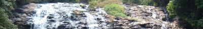
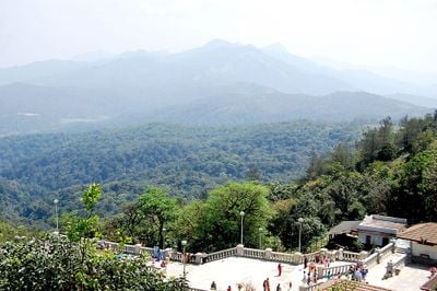
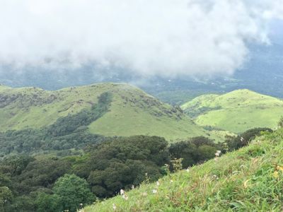
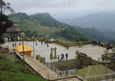
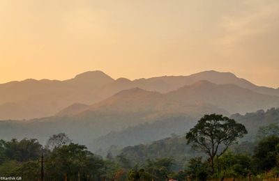
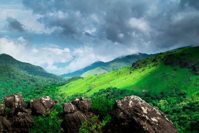
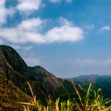
Kodagu is a district in Karnataka that stretches across forested highlands of the Western Ghats, encompassing numerous coffee plantations and valleys that wind between the mountains. Paths snake through dense vegetation, while small towns and villages sit scattered across the hills, offering wide views over the greenery.
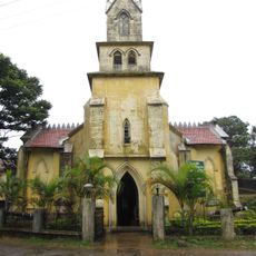
The area formed an independent territory under local rule until 1834, when British forces incorporated it after a military conflict. This change brought new administrative structures and the planned expansion of plantations.
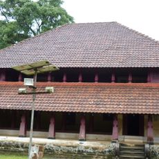
The Kodava community lives in houses with traditional architecture that features wood and sloped roofs, while ancestral worship sites often appear along riverbanks. Local markets offer honey, spices and fresh produce from surrounding plantations that families have worked for several generations.
Travelers find a central hub in the town of Madikeri with bus links to larger cities, while temperatures in the highlands remain pleasantly cool. The months after the monsoon through early spring usually offer clear days, making walks and sightseeing easier.
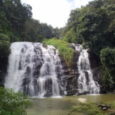
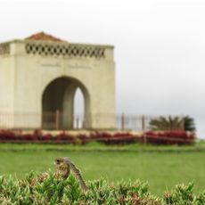
The Kaveri River begins in this district at a source that pilgrims from different regions of India consider a sacred site. Three protected areas preserve the natural environment, where elephants and other species move through the forests.
The community of curious travelers
AroundUs brings together thousands of curated places, local tips, and hidden gems, enriched daily by 60,000 contributors worldwide.