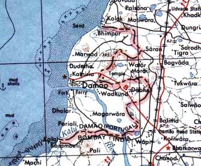
Daman district, Administrative district in western coastal India.
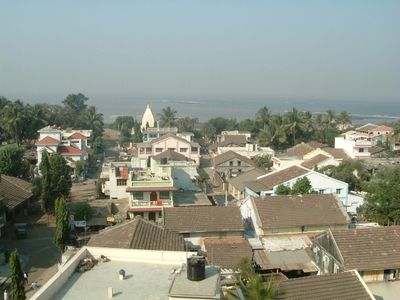
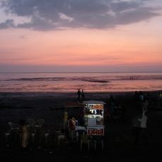
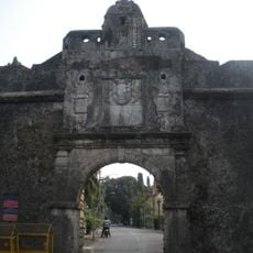
Daman district is an administrative region along India's western coast, stretching along the Arabian Sea with beaches, historic forts, and waterfront promenades beside the Daman Ganga River. The territory combines coastal landscapes with urban areas and includes various religious and historical structures throughout.
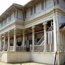
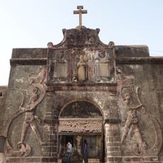
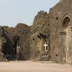
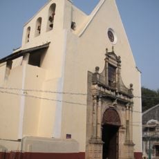
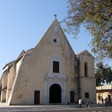
The district came under Portuguese control in 1559 and remained under Portuguese rule until India integrated the territory through military action in December 1961. This long period of Portuguese presence left significant marks on the region's architecture and culture.
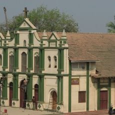
The district shows a blend of Hindu temples and Portuguese colonial buildings that together reflect its religious and architectural past. Local shrines remain active gathering places where residents and visitors come to observe traditions that have been practiced here for generations.
The area connects to major Indian cities through National Highway 48, while Vapi Railway Station provides the nearest rail access. Visitors should plan to explore beaches and outdoor areas between October and March, when weather conditions are most favorable.
The district contains Vanganga Lake Garden, a green space with native plants and water features that offers visitors a peaceful setting to spend time. Many travelers overlook this park despite its appeal as a natural counterpoint to the region's historical and urban areas.
The community of curious travelers
AroundUs brings together thousands of curated places, local tips, and hidden gems, enriched daily by 60,000 contributors worldwide.