Enable Location

We need your location to show you interesting places around you

Discover nearby places

Find interesting locations and hidden gems around you

Precise directions

Get accurate directions and distances to places

Your location is never shared with other users. It's only used when you tap the location button.

Log in to your account

Start exploring — it's free

Trusted by 62,618 travelers worldwide

Continue with Google
Continue with Apple
or

We will send you a code to connect

By continuing, you accept our Terms and Conditions and our Privacy Policy

Check your inbox

We've sent a pincode in your inbox. Please enter the code below.

Rajgarh district

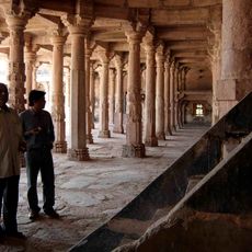
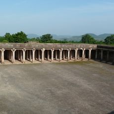
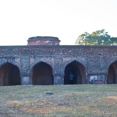
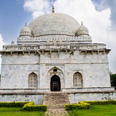
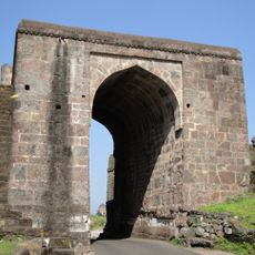
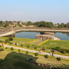
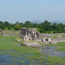
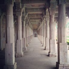
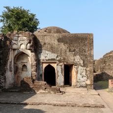
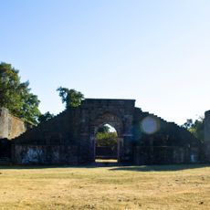
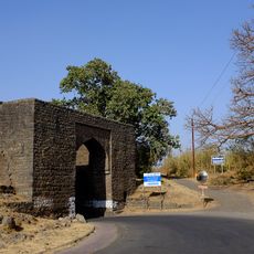
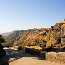
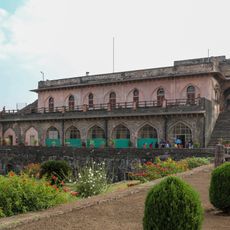
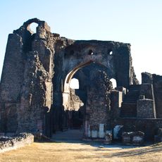
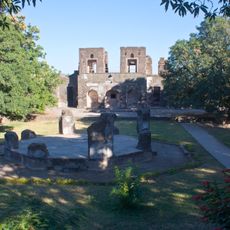
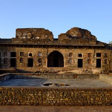
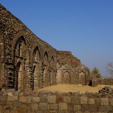
Rajgarh district, Administrative district in Bhopal division, India

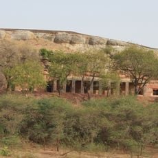
Rajgarh district is an administrative division in the Bhopal region that covers roughly 6,150 square kilometers along the northern edge of the Malwa plateau. The area borders Rajasthan and shares boundaries with several neighboring districts of Madhya Pradesh.

The district was created in May 1948 when Madhya Bharat was established, merging territories from the former princely states of Rajgarh, Narsinghgarh, and Khilchipur. This consolidation formed the basis of the current administrative structure.

The district population includes 92.76 percent Hindus and 6.92 percent Muslims, with Hindi serving as the primary language of communication.

The region contains numerous villages, banking facilities, schools, hospitals, and local markets distributed across seven administrative subdivisions. Visitors should expect to explore different areas to access various services and experience the range of settlements throughout the district.

The district is home to a major solar energy facility that uses photovoltaic modules manufactured domestically, representing one of India's most significant installations of this type. The plant demonstrates the region's growing focus on renewable energy production.

The community of curious travelers

AroundUs brings together thousands of curated places, local tips, and hidden gems, enriched daily by 60,000 contributors worldwide.

Start exploring
Location
Capital city
Rajgarh
Shares border with
Jhalawar district, Bhopal district
GPS coordinates
22.67694,74.94500
Latest update
December 7, 2025 10:07
« Rajgarh district - Administrative district in Bhopal division, India » is provided by Around Us (aroundus.com). Images and texts are derived from Wikimedia project under a Creative Commons license. You are allowed to copy, distribute, and modify copies of this page, under the conditions set by the license, as long as this note is clearly visible.

Discover hidden gems everywhere you go!

From secret cafés to breathtaking viewpoints, skip the crowded tourist spots and find places that match your style. Our app makes it easy with voice search, smart filtering, route optimization, and insider tips from travelers worldwide. Download now for the complete mobile experience.

Around Us App Screenshot

A unique approach to discovering new places

Le Figaro

All the places worth exploring

France Info

A tailor-made excursion in just a few clicks

20 Minutes

Around Us
Travel Guide & Maps
Download

Send to your phone

QR Code
1

Open the camera app on your mobile.

2

Point at the QR code with your camera. A notification will appear.

3

Tap the notification to open the link.