Enable Location

We need your location to show you interesting places around you

Discover nearby places

Find interesting locations and hidden gems around you

Precise directions

Get accurate directions and distances to places

Your location is never shared with other users. It's only used when you tap the location button.

Log in to your account

Start exploring — it's free

Trusted by 61,833 travelers worldwide

Continue with Google
Continue with Apple
or

We will send you a code to connect

By continuing, you accept our Terms and Conditions and our Privacy Policy

Check your inbox

We've sent a pincode in your inbox. Please enter the code below.

Narmada district

Narmada district, Administrative district in Gujarat, India

Description

Narmada is an administrative district in Gujarat that spans several smaller administrative units, including Dediapada, Nandod, Tilakwada, Sagbara, and Garudeshwar. Rajpipla serves as the administrative center and is known for its high literacy rate of around 97 percent.

History

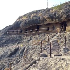
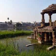
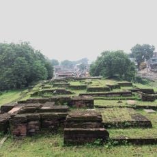
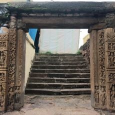
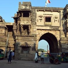
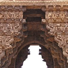
The main town Rajpipla was previously known as Nandipuri and served as an important center during the reign of Gurjara kings. The region played a central role in the Lata kingdom and shaped the historical development of the area.

Culture

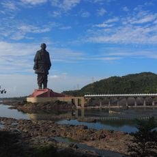
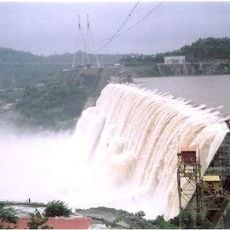
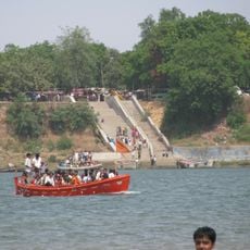
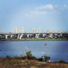
The district is deeply connected to the Narmada River, which shapes daily life, farming, and religious practices for local residents. This bond appears in local customs and how people integrate the river into their everyday routines.

Practical

Visitors will find good accessibility in Rajpipla and surrounding towns with developed infrastructure. The best time to visit is from October to March, when the weather is pleasant and the landscape is green.

Did you know?

The name Rajpipla comes from the Bhil community, who named a ruler after he built his residence beneath a pipal tree. This origin reveals how local groups shaped the history of the place.

Location
Capital city
Rajpipla
Shares border with
Vadodara district, Tapi district, Nandurbar district, Chhota Udaipur district, Bharuch district, Surat district
GPS coordinates
21.87000,73.50000
Latest update
December 20, 2025 14:30

AroundUs brings together thousands of curated places, local tips, and hidden gems, enriched daily by 60,000 contributors worldwide. Discover all places nearby (Gujarat).

Administrative divisions
« Narmada district - Administrative district in Gujarat, India » is provided by Around Us (aroundus.com). Images and texts are derived from Wikimedia project under a Creative Commons license. You are allowed to copy, distribute, and modify copies of this page, under the conditions set by the license, as long as this note is clearly visible.

Discover hidden gems everywhere you go!

From secret cafés to breathtaking viewpoints, skip the crowded tourist spots and find places that match your style. Our app makes it easy with voice search, smart filtering, route optimization, and insider tips from travelers worldwide. Download now for the complete mobile experience.

Around Us App Screenshot

A unique approach to discovering new places

Le Figaro

All the places worth exploring

France Info

A tailor-made excursion in just a few clicks

20 Minutes

Around Us
Travel Guide & Maps
Download

Send to your phone

QR Code
1

Open the camera app on your mobile.

2

Point at the QR code with your camera. A notification will appear.

3

Tap the notification to open the link.