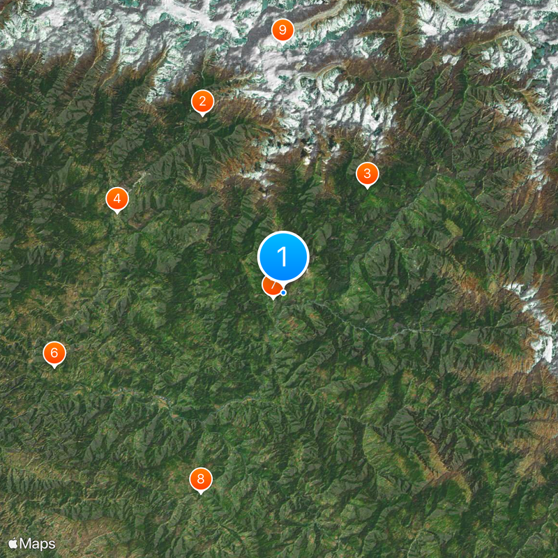
Chamoli district, Administrative district in Uttarakhand, India
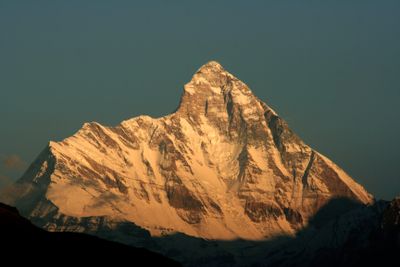
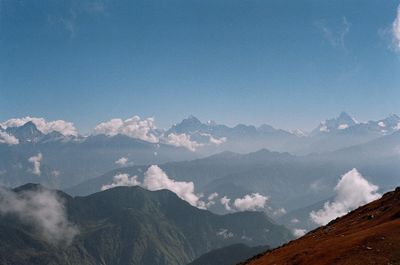
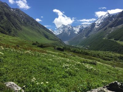
Chamoli is an administrative district in Uttarakhand that spans the Himalayan mountains, ranging from 800 to 8,000 meters in elevation depending on location. The region is crossed by rivers fed by glaciers and is divided into twelve administrative subdivisions governing around 1,244 villages.
The area was separated from Pauri Garhwal in 1960 and established as an independent district. It later became central to the Chipko environmental movement, which focused on protecting forests from commercial logging.
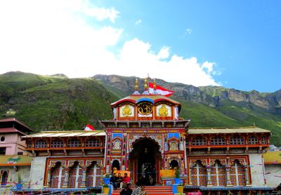
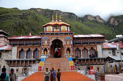
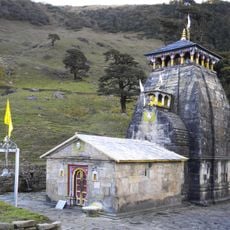
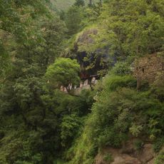
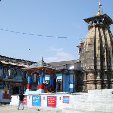
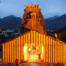
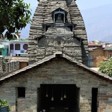
The name comes from the Sanskrit word "chandramoli," which refers to Lord Shiva in Hindu tradition. Temples dot the landscape here, and pilgrimage remains a central part of how people connect with their land and beliefs.
The best time to visit is from May to June and September to October, when weather is stable and mountain passes are accessible. Gopeshwar serves as the administrative center and provides essential services including hospitals and banking facilities for visitors and residents.
The region contains the Valley of Flowers, a high-altitude meadow filled with rare alpine wildflowers that has been recognized as a UNESCO World Heritage Site. This national park draws visitors who seek out the extraordinary plant life and remote mountain landscapes.
The community of curious travelers
AroundUs brings together thousands of curated places, local tips, and hidden gems, enriched daily by 60,000 contributors worldwide.