Garhwal division, Administrative division in Uttarakhand, India
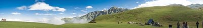
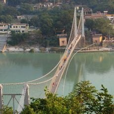
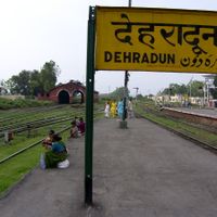
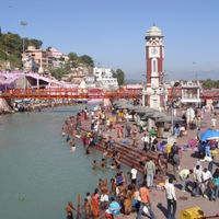
Garhwal is an administrative region in India's northern Himalayan areas, spanning seven districts including Dehradun, Haridwar, and Chamoli. The landscape features green mountains, river valleys, and scattered settlements where Garhwali and Hindi are spoken by residents.
This region emerged as a unified area in the 15th century when a king brought together multiple separate principalities into one territory. That consolidation became the foundation for how the region is organized today administratively.
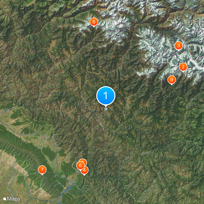
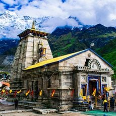
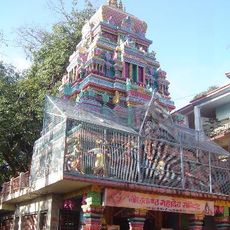
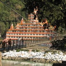
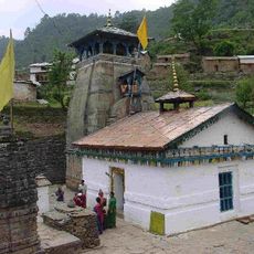
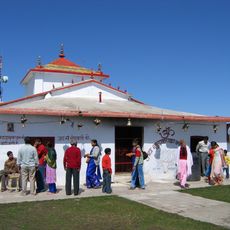
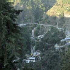
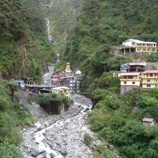
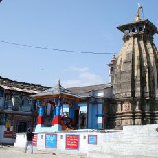
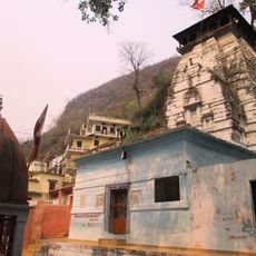
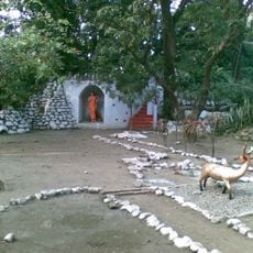
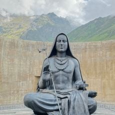
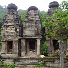
The region is shaped by numerous shrines and sacred sites that remain visible to visitors walking through its communities. Pilgrims and travelers use ancient routes that pass through villages and connect distant temples, showing how deeply spiritual practice is woven into daily life.
The best time to explore is during warmer months when mountain and river routes are more accessible. Visitors should prepare for varying elevations and keep in mind that weather and road conditions can change rapidly.
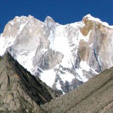
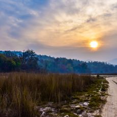
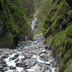
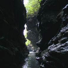
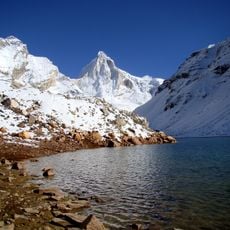
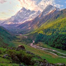
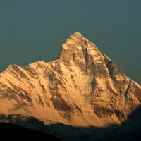
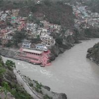
A striking characteristic of the region is how it contains very different landscapes within a small administrative area, ranging from dry river plains to high mountain ridges. Travelers quickly notice how the surroundings shift dramatically between districts, making each zone feel distinct.
The community of curious travelers
AroundUs brings together thousands of curated places, local tips, and hidden gems, enriched daily by 60,000 contributors worldwide.