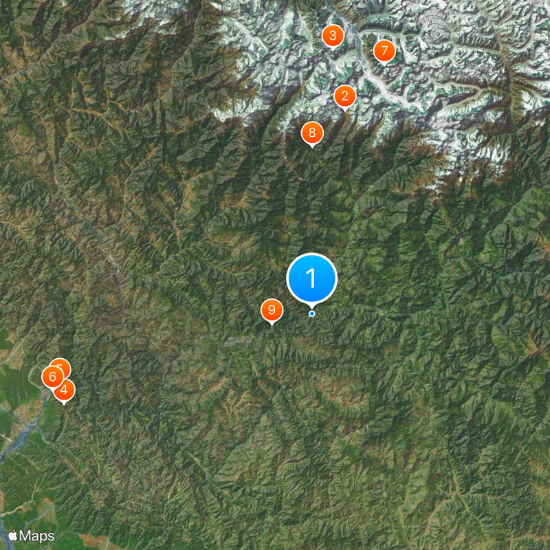
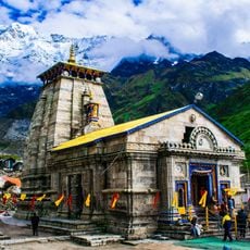
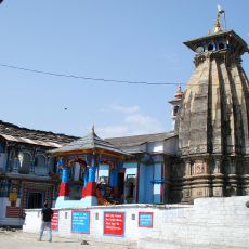
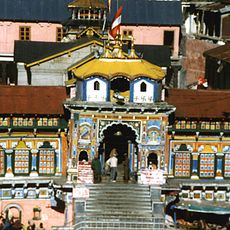
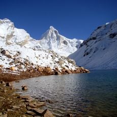
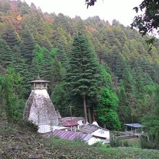
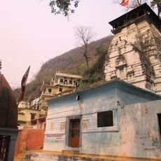
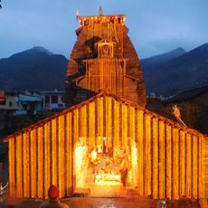
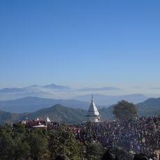
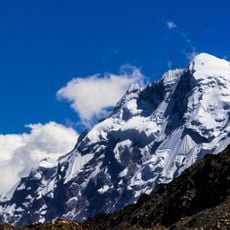
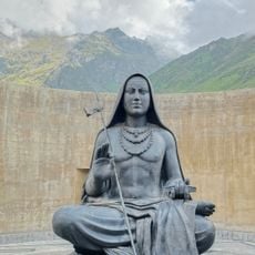
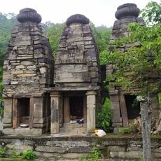
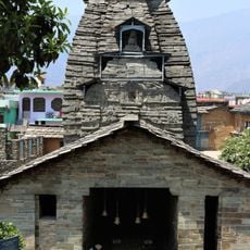
Rudraprayag district, Administrative district in Garhwal division, India
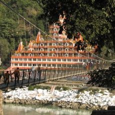
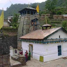
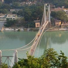
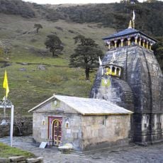
Rudraprayag district sits where the Alaknanda and Mandakini rivers converge, spreading across mountainous terrain in Uttarakhand. The landscape includes valleys, ridges, and varying elevations that shape how the district is organized geographically.
The district was created in 1997 from territories combined from three neighboring districts: Chamoli, Tehri, and Pauri. This administrative reorganization reshaped the governance structure of the region.
People here speak Garhwali in their daily lives, a language deeply rooted in the region and passed down through generations. Visitors will hear it throughout the district and experience the authentic local identity through this spoken tradition.
The district connects by road to Dehradun and Haridwar, with October through March offering the best travel conditions. Outside these months, weather and road access become more challenging for visitors.
The district has an unusual gender ratio with more females than males living there, setting it apart from many other regions. This demographic pattern is distinctive among India's districts and reflects particular migration or settlement trends.
The community of curious travelers
AroundUs brings together thousands of curated places, local tips, and hidden gems, enriched daily by 60,000 contributors worldwide.