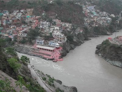
Pauri Garhwal district, Administrative district in Uttarakhand, India.
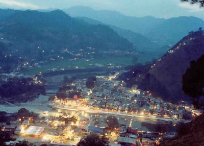
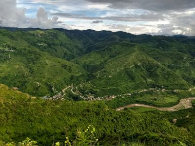
This administrative region in Uttarakhand stretches from lowlands at around 1,000 feet (300 meters) up into the mountains beyond 10,000 feet (3,000 meters). The capital is the town of Pauri, while most people live in small settlements along the winding roads.
Control of the territory passed to King Ajaypal in the 15th century, who unified the scattered principalities into a single kingdom. Later the area was taken by the Gurkhas in 1804 and came under British administration in 1815.
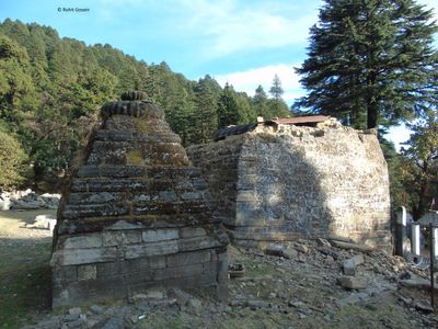
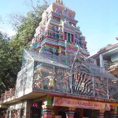
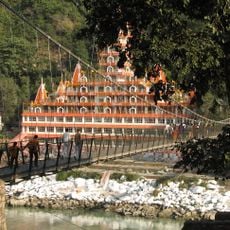
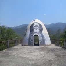
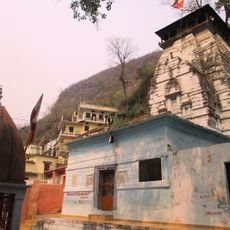
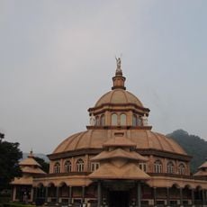
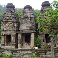
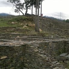
The name comes from the 52 forts that once stood across the hills and shaped the character of the landscape. Today you see mostly small villages with stone houses and temples that pilgrims visit during the season.
Buses connect the larger towns, but the journey can take many hours because the roads are steep and narrow. Visitors coming from farther away usually use the railway station at Kotdwara in the south or the airport near Dehradun.
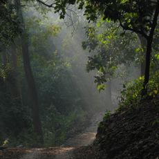
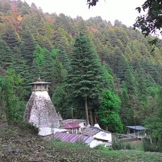
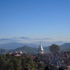
The area around Khirsu is known for its quiet forest trails beneath oaks and rhododendrons that bloom in spring. From there you can see the snow-covered peaks of the northern Himalayan range on clear days.
Location: Garhwal division
Capital city: Pauri
Shares border with: Tehri Garhwal district, Almora district
Website: http://pauri.nic.in
GPS coordinates: 29.80000,78.74000
Latest update: December 13, 2025 18:57
Jim Corbett National Park
35.1 km
Neelkanth Mahadev Temple
49.6 km
Lakshman Jhula
53.7 km
Beatles Ashram
53.7 km
Dhari Devi
52.7 km
Ram Jhula Bridge
54.6 km
Parmarth Niketan
54.5 km
Binsar Devta
47.3 km
Raghunathji Temple, Devprayag
42 kmAmangarh Tiger Reserve
28.6 km
Kalinka, Pauri Garhwal
32.5 kmVirbhadra Temple
53.4 kmPashulok Barrage
53.2 km
St. Joseph's Cathedral, Kotdwar
21.3 kmJanki bridge
54.5 km
Shivalaya
43.8 km
Fort with walls and ruins of dwelling house inside it and with flights of steps
61.9 kmKāngri (tumoy sa bukid)
51.3 kmBeatles room
53.9 kmArundhati Guha Cave
46 kmAarti
54.3 kmSaptpuri Complex (Beatles Accommodation)
53.6 kmJumpin Heights
43.9 kmWorld peace yoga school
54.1 kmTip In Top
8.1 kmChandpur fort
61.9 kmAdi Badri Vishnu temple complex
61.4 kmEnd of road!!! Now just a walking path!!
49.9 kmVisited this place? Tap the stars to rate it and share your experience / photos with the community! Try now! You can cancel it anytime.
Discover hidden gems everywhere you go!
From secret cafés to breathtaking viewpoints, skip the crowded tourist spots and find places that match your style. Our app makes it easy with voice search, smart filtering, route optimization, and insider tips from travelers worldwide. Download now for the complete mobile experience.
A unique approach to discovering new places❞
— Le Figaro
All the places worth exploring❞
— France Info
A tailor-made excursion in just a few clicks❞
— 20 Minutes