Haridwar district, Administrative district in Garhwal division, India
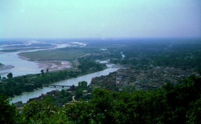
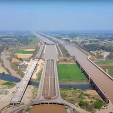
Haridwar district is an administrative territory in the Garhwal division in the western part of Uttarakhand state. The territory sits at roughly 250 meters elevation and covers an area of 2,360 square kilometers between the foothills of the Himalayas and the plains.
The area was part of the Saharanpur Divisional Commissionary from December 1988 until November 2000. When Uttarakhand became a separate state on November 9, 2000, this territory became part of the newly formed Garhwal division.
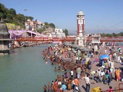
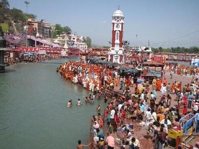
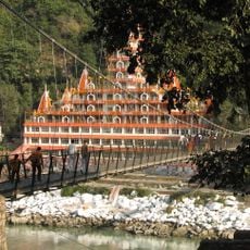
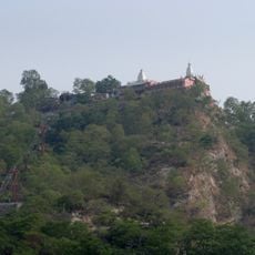
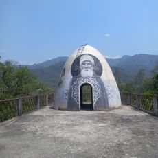
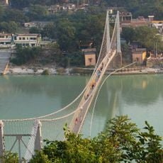
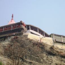
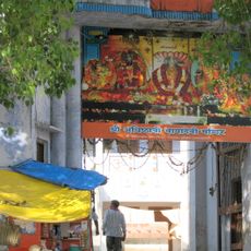
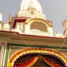
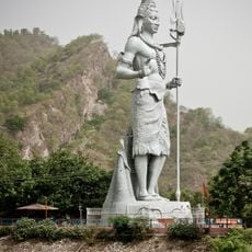
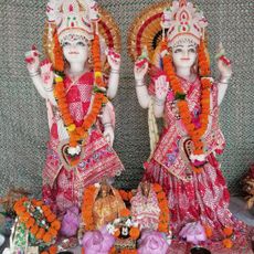
The name Haridwar means "Gateway to God" and reflects the presence of temples and bathing spots along the Ganges that draw pilgrims throughout the year. Visitors notice prayer flags, devotional songs, and ritual offerings that mark the rhythm of daily life in many parts of this administrative territory.
The administration divides the territory into four tehsils: Haridwar, Roorkee, Laksar, and Bhagwanpur, each covering different local centers and settlements. Travelers will find smaller towns and villages within each tehsil that serve as starting points for exploring the surrounding areas.
Archaeologists have found terra cotta artifacts in the region dating from 1700 to 1200 BCE, indicating early human settlement. These discoveries show that the area was inhabited thousands of years before modern administrative structures were formed.
The community of curious travelers
AroundUs brings together thousands of curated places, local tips, and hidden gems, enriched daily by 60,000 contributors worldwide.