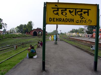
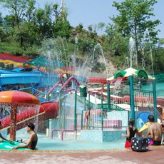
Dehradun district, Administrative district in Garhwal division, India
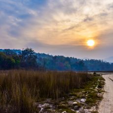
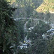
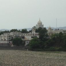
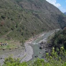
Dehradun district lies between the Ganges and Yamuna rivers, spanning from flat valley areas to high mountain terrain. The region is divided into six administrative subdivisions that together contain numerous towns and villages scattered across the varied landscape.
The district was created in 1871 as a separate administrative unit during British rule, having been previously part of a larger district. This division established its own governance structure and set it apart from the broader territorial organization.
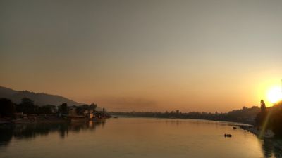
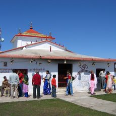
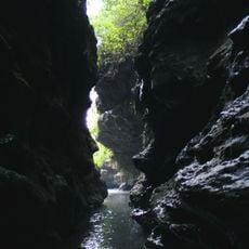
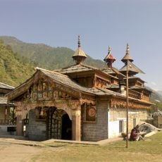
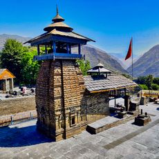
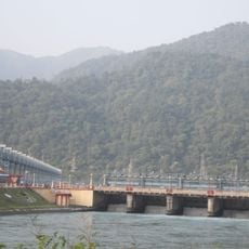
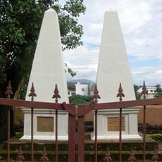
Many sacred sites throughout the district are woven into Hindu texts and shape how local people relate to their landscape. In Rishikesh especially, you can sit at these holy places and feel the spiritual weight they carry for pilgrims and communities.
You will encounter Hindi and Garhwali as the main languages spoken by people throughout the region. As you explore, you will find a mix of urban centers and many rural villages, each offering different experiences depending on where you travel.
The name comes from 1676, when a spiritual leader established his camp, called a 'Dera', in a valley near here. This simple beginning gave the entire area its name, with Dehradun literally meaning the valley where the camp stood.
The community of curious travelers
AroundUs brings together thousands of curated places, local tips, and hidden gems, enriched daily by 60,000 contributors worldwide.