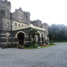
Uttarkashi district, Administrative district in Garhwal division, India
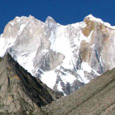
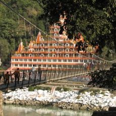
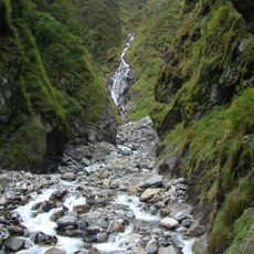
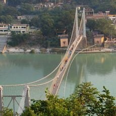
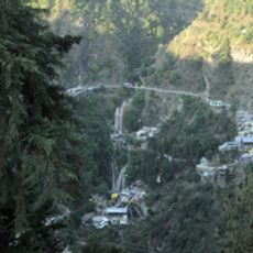
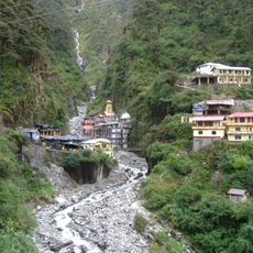
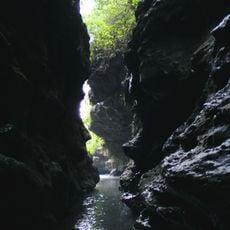
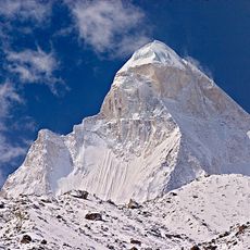
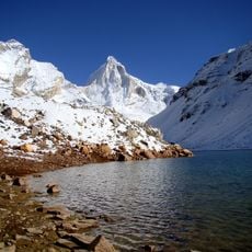
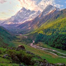
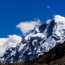
Uttarkashi district spreads across mountain terrain with deep valleys carved by rivers where communities have settled. The landscape shifts between forested slopes, farmland, and rocky ridges throughout the region.
The area consisted of separate kingdoms until the 15th century, when King Ajai Pal unified them into a single Garhwal kingdom. This consolidation shaped the political structure that defined the region for centuries afterward.
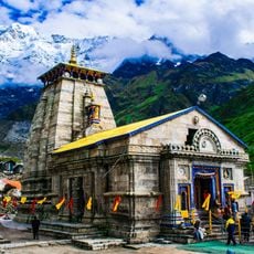
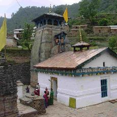
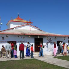
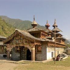
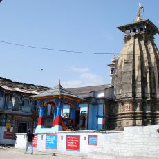
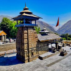
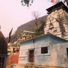
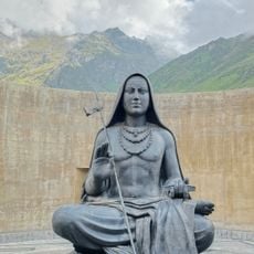
The region serves as a gateway to holy sites like Yamunotri and Gangotri, which draw pilgrims year-round. These destinations shape spiritual life in local villages and influence how people mark their seasons.
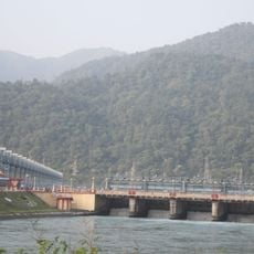
The district spans several administrative areas with roads connecting villages through valleys and over mountain passes. Visitors should check weather conditions before traveling, as mountain routes vary in accessibility throughout the year.
Local communities have strong military ties dating back to the British colonial era, with many residents joining the Indian army. This connection to military service has shaped families and cultural identity across generations.
The community of curious travelers
AroundUs brings together thousands of curated places, local tips, and hidden gems, enriched daily by 60,000 contributors worldwide.