Enable Location

We need your location to show you interesting places around you

Discover nearby places

Find interesting locations and hidden gems around you

Precise directions

Get accurate directions and distances to places

Your location is never shared with other users. It's only used when you tap the location button.

Jalna district

Log in to your account

Start exploring — it's free

Trusted by 61,452 travelers worldwide

Continue with Google
Continue with Apple
or

We will send you a code to connect

By continuing, you accept our Terms and Conditions and our Privacy Policy

Check your inbox

We've sent a pincode in your inbox. Please enter the code below.

Jalna district, Administrative district in Sambhajinagar division, India

Description

Jalna is an administrative district in Maharashtra covering around 7,700 square kilometers with Jalgaon bordering it to the north and Beed to the south. The region spreads across more than 970 villages organized through local administrative units.

History

The area was once part of the Nizam State until it gained independence through a regional liberation movement and received official district status in 1981. This reorganization reflected broader changes in how the state structured its administration.

Culture

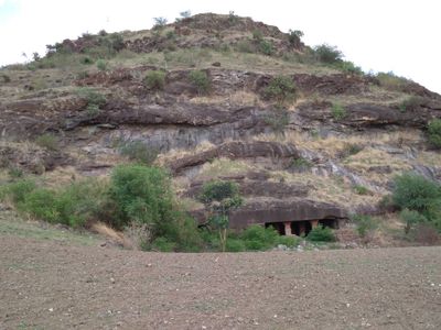
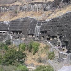
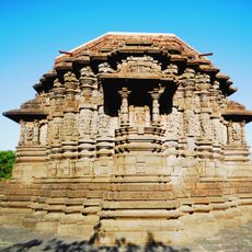
Villages here maintain traditional ways of living where communities manage their own affairs and stay closely connected to farming and local practices. Visitors can see how daily life revolves around agricultural rhythms and generations-old customs.

Practical

The main town connects to other cities via broad gauge railway lines and highways, making travel relatively straightforward. The nearest airport is roughly 50 kilometers away for those needing faster connections.

Did you know?

The district leads Maharashtra in producing sweet lemons and hosts multiple seed companies in the area. This combination makes it a notable hub for seed production and agricultural innovation.

Inception
May 1, 1981
Capital city
Jalna
Shares border with
Aurangabad district, Parbhani district
GPS coordinates
19.83333,75.88333
Latest update
December 20, 2025 12:38

AroundUs brings together thousands of curated places, local tips, and hidden gems, enriched daily by 60,000 contributors worldwide. Discover all places nearby (Sambhajinagar division).

« Jalna district - Administrative district in Sambhajinagar division, India » is provided by Around Us (aroundus.com). Images and texts are derived from Wikimedia project under a Creative Commons license. You are allowed to copy, distribute, and modify copies of this page, under the conditions set by the license, as long as this note is clearly visible.

Discover hidden gems everywhere you go!

From secret cafés to breathtaking viewpoints, skip the crowded tourist spots and find places that match your style. Our app makes it easy with voice search, smart filtering, route optimization, and insider tips from travelers worldwide. Download now for the complete mobile experience.

Around Us App Screenshot

A unique approach to discovering new places

Le Figaro

All the places worth exploring

France Info

A tailor-made excursion in just a few clicks

20 Minutes

Around Us
Travel Guide & Maps
Download

Send to your phone

QR Code
1

Open the camera app on your mobile.

2

Point at the QR code with your camera. A notification will appear.

3

Tap the notification to open the link.