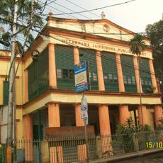
Uttarpara Kotrung, human settlement in India
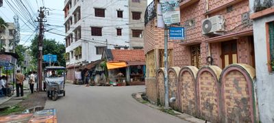
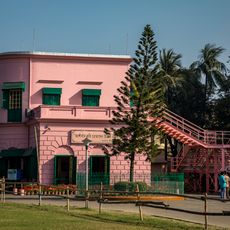
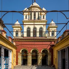
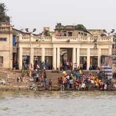
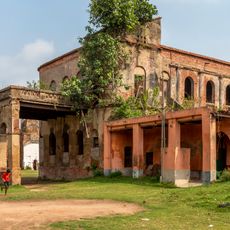
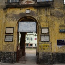
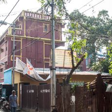
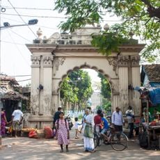
Uttarpara Kotrung is a large town and municipality in West Bengal, located within Srirampore subdivision. Its streets are filled with small markets and local shops, displaying a mix of older buildings alongside newer commercial spaces that reflect gradual urban development.
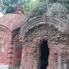
The town grew from a small village into a busy urban center over many years. It played an important role in social movements during India's independence era, with many residents participating in protests and efforts for change that left a mark on local identity.
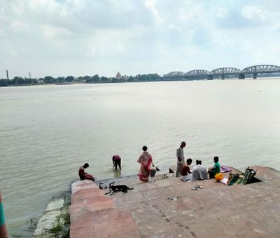
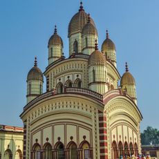
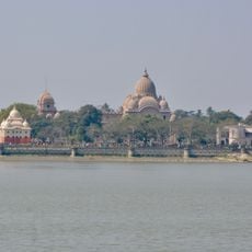
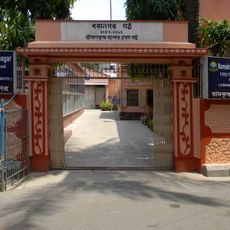
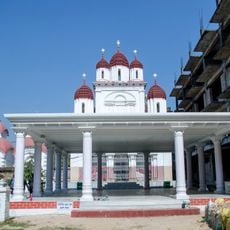
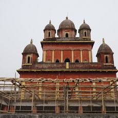
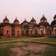
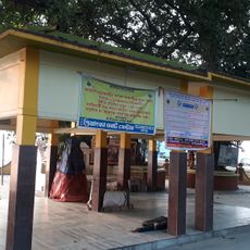
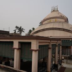
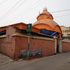
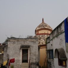
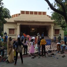
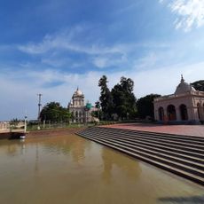
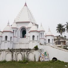
Uttarpara Kotrung is where communities gather at temples and local centers, especially during festivals like Durga Puja when the town is decorated with lights and artwork. These celebrations reveal how traditions deeply shape daily life and bring residents together.
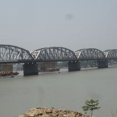
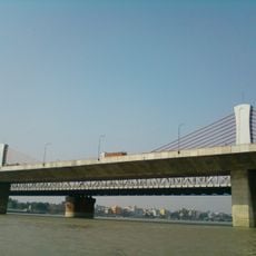
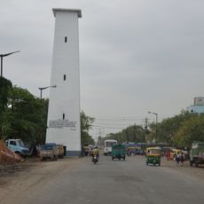
Getting around is straightforward by foot or with local buses and auto rickshaws, as the town layout is easy to navigate. The place offers both busy streets and quieter corners near parks and religious sites, making it convenient for visitors to explore at their own pace.
The town has a notable history of resilience and local pride reflected in stories of residents who took part in change movements. These narratives remain woven into the town's identity today and come alive through conversations with locals.
The community of curious travelers
AroundUs brings together thousands of curated places, local tips, and hidden gems, enriched daily by 60,000 contributors worldwide.