Sagar district, Administrative district in central Madhya Pradesh, India
Sagar is an administrative district in central India situated between the Vindhya mountain ranges and the eastern Malwa plateau. The landscape is shaped by several rivers—Sunar, Dhasan, Bina, and Bewas—that flow through the territory.
The area was originally ruled by local kings such as the Ahir-Rajas before coming under Peshwa control. In 1818 it passed to British rule and eventually became part of Central Provinces.
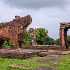
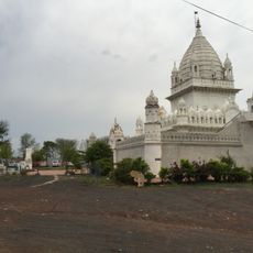
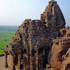
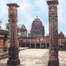
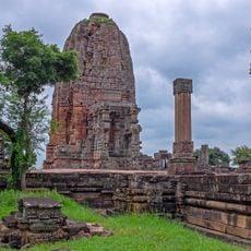
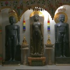
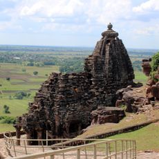
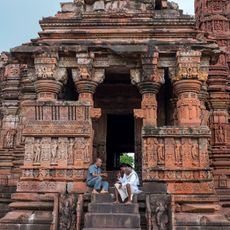
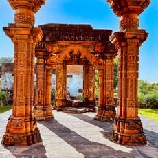
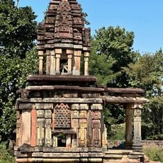
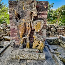
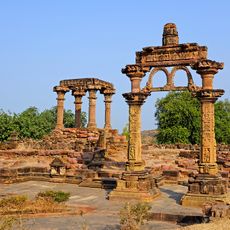
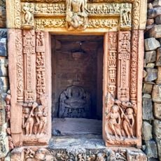
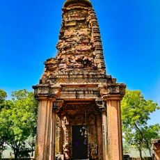
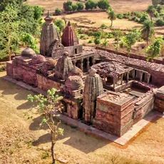
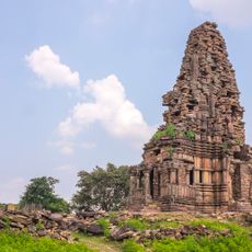
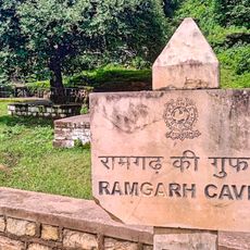
The communities here speak Hindi and Bundelkhandi languages and practice diverse faiths visible in religious sites scattered throughout the area. Places like Neminagar Jain Tirth reveal the spiritual traditions that matter to people living in these villages.
The administrative center in Sagar city provides access to schools, hospitals, banks, and government services in one main location. Most villages are reachable by road, though facilities in more remote areas may be basic.
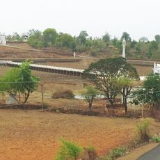
The Tropic of Cancer crosses through the region and marks a geographical milestone at Rangir Tiraha on National Highway 44. This point shows visitors a globally significant latitude line passing through everyday landscapes.
The community of curious travelers
AroundUs brings together thousands of curated places, local tips, and hidden gems, enriched daily by 60,000 contributors worldwide.