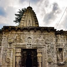
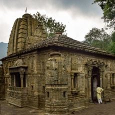
Hamirpur district, Administrative district in Himachal Pradesh, India
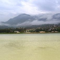
Hamirpur is an administrative district in Himachal Pradesh situated between the Shivalik Ranges with mountainous terrain covered by pine forests. The area spans roughly 1,118 square kilometers at an elevation of about 790 meters.
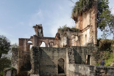
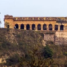
The district was established in 1972 from Kangra District and takes its name from Raja Hamir Chand, who ruled from 1700 to 1740. He built a fort during his reign in the region.
The district has strong ties to military service, with many people working in various regiments and defense organizations. This tradition shapes the daily life of many families across the region.
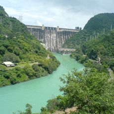
The area is connected to major cities through National Highways 3 and 103 with regular bus services from the district capital. Roads are well-developed throughout the region, making travel straightforward.
The district holds the highest road density among all Indian districts, making its transportation network quite remarkable. Despite its generally snow-free climate, it experienced unexpected snowfall in 2012 and 2019.
The community of curious travelers
AroundUs brings together thousands of curated places, local tips, and hidden gems, enriched daily by 60,000 contributors worldwide.