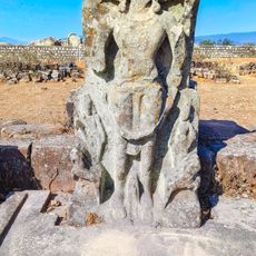
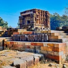
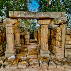
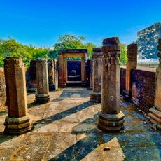
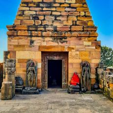
Surguja district, Administrative district in Chhattisgarh, India
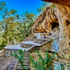
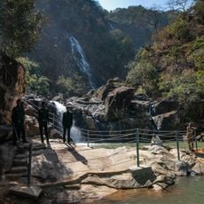
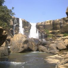
Surguja district is an administrative area in Chhattisgarh with mountainous terrain covering roughly 5,700 square kilometers and several peaks rising to about 1,200 meters. The landscape features multiple mountain ridges and valleys that shape the geography of the region.
The region came under British control following the Third Anglo-Maratha War in 1818, marking a major shift in regional administration. This colonial rule shaped the governance and development of the area for generations afterward.
Surgujia is the primary language spoken here, used by the local population in everyday conversation alongside Kurukh and Hindi. This linguistic variety reflects the cultural identity of the communities living across the region.
The district capital Ambikapur connects to major cities through train services from nearby Anuppur junction, providing reliable access to the region. The local airport also handles regular flights, making travel to the area convenient for visitors coming from elsewhere.
The region contains several notable mountain peaks such as Mailan, Jam, and Parta Gharsa that form an unusual clustering of highland features. This mountain formation creates a distinctive topography that sets the landscape apart from surrounding areas.
The community of curious travelers
AroundUs brings together thousands of curated places, local tips, and hidden gems, enriched daily by 60,000 contributors worldwide.