Konnagar, City in West Bengal, India
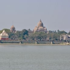
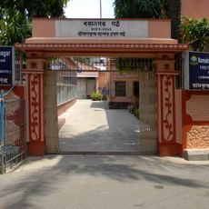
Konnagar is a town in West Bengal located along the Hooghly River covering approximately 4.7 square kilometers. The streets are filled with busy shops and markets selling fresh produce, factory buildings, and temples that create a mix of residential, commercial, and spiritual spaces.
The town was founded by Nrishinha Das Basu and became a municipality in 1944. It developed as a major jute manufacturing center in the 1800s, and the Bata shoe company established its first Indian workshop here in the 1930s, both shaping the local economy.
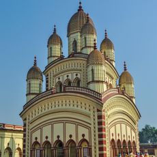
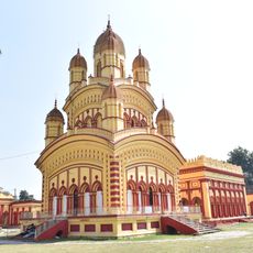
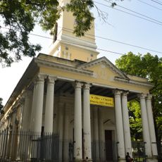
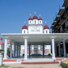
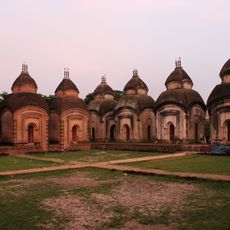
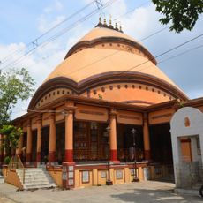
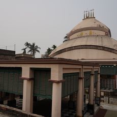
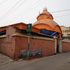
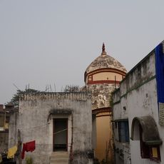
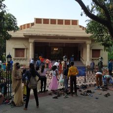
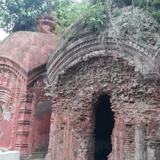
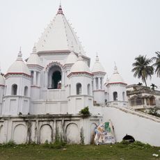
The town is known for its temples that come alive during religious festivals, especially the Shakuntala Kali Temple during spring celebrations. Community gatherings and processions bring neighbors together for shared prayers, feasts, and cultural performances throughout the year.
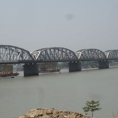
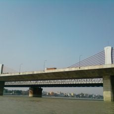
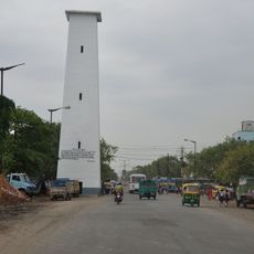
The town is located on the main railway line between Howrah and Bardhaman, making it easy to reach nearby cities by train. Walking around is straightforward given the small size, and getting around within the area works well using boats, buses, and auto-rickshaws.
The town was home to the Bata shoe company's first Indian workshop, established in the early 1930s and employing many local workers. Though the plant closed later, this history remains a significant part of local memory and the town's industrial heritage.
The community of curious travelers
AroundUs brings together thousands of curated places, local tips, and hidden gems, enriched daily by 60,000 contributors worldwide.